 Old Cumbria Gazetteer
 |
 |
|
| Ridge House, Brampton | ||
| Ridge House | ||
| Street:- | Lanercost Road | |
| locality:- | Brampton | |
| civil parish:- | Brampton (formerly Cumberland) | |
| county:- | Cumbria | |
| locality type:- | buildings | |
| coordinates:- | NY53576130 | |
| 1Km square:- | NY5361 | |
| 10Km square:- | NY56 | |
| references:- | Listed Buildings 2010 |
|
|
|
||
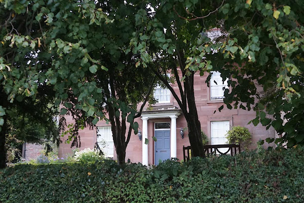 CEB27.jpg (taken 9.10.2015) |
||
|
|
||
| evidence:- | old map:- OS County Series (Cmd 18 5) placename:- Ridge House |
|
| source data:- | Maps, County Series maps of Great Britain, scales 6 and 25
inches to 1 mile, published by the Ordnance Survey, Southampton,
Hampshire, from about 1863 to 1948. |
|
|
|
||
| evidence:- | database:- Listed Buildings 2010 placename:- Ridge House placename:- Ridhe House Inn item:- date stone (1835) |
|
| source data:- | courtesy of English Heritage "RIDGE HOUSE / / LANERCOST ROAD / BRAMPTON / CARLISLE / CUMBRIA / II / 77830 / NY5357161303" |
|
|
|
||
 Lakes Guides menu.