 Old Cumbria Gazetteer
 |
 |
|
| Sandriggs, Little Strickland | ||
| Sandriggs | ||
| Sandriggs Farm | ||
| civil parish:- | Little Strickland (formerly Westmorland) | |
| county:- | Cumbria | |
| locality type:- | buildings | |
| coordinates:- | NY56272115 | |
| 1Km square:- | NY5621 | |
| 10Km square:- | NY52 | |
| references:- | Listed Buildings 2010 |
|
|
|
||
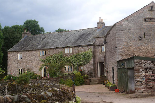 CDP47.jpg (taken 24.7.2015) 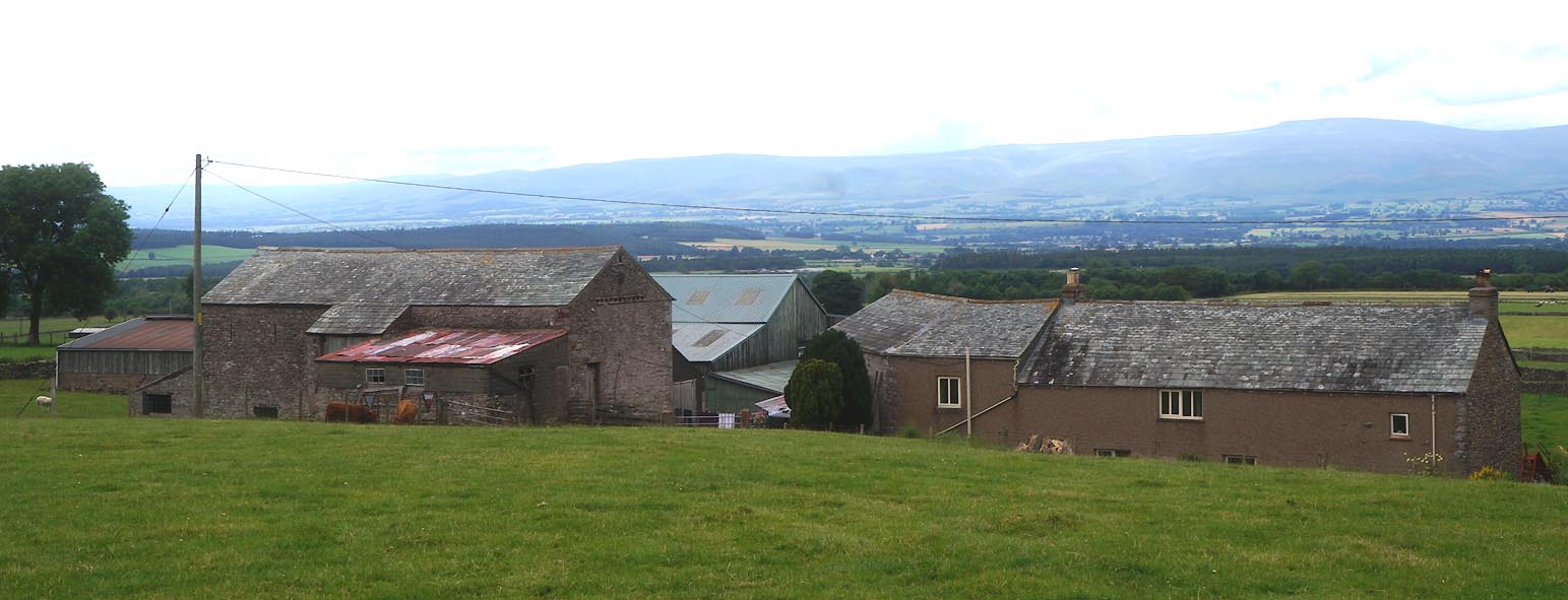 Click to enlarge CDP50.jpg (taken 24.7.2015) |
||
|
|
||
| evidence:- | old map:- OS County Series (Wmd 8 14) placename:- Sandriggs |
|
| source data:- | Maps, County Series maps of Great Britain, scales 6 and 25
inches to 1 mile, published by the Ordnance Survey, Southampton,
Hampshire, from about 1863 to 1948. |
|
|
|
||
| evidence:- | database:- Listed Buildings 2010 placename:- Sandriggs |
|
| source data:- | courtesy of English Heritage "SANDRIGGS / / / LITTLE STRICKLAND / EDEN / CUMBRIA / II / 74323 / NY5627821158" |
|
|
|
||
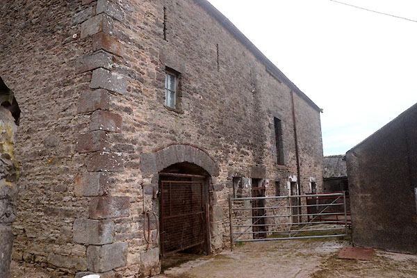 CDP48.jpg Barn. (taken 24.7.2015) 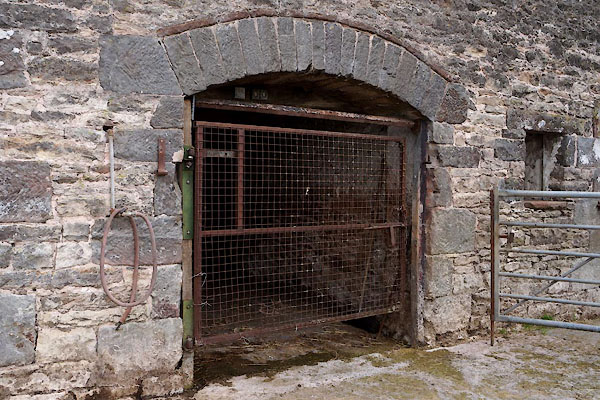 CDP49.jpg Bar, door. (taken 24.7.2015) 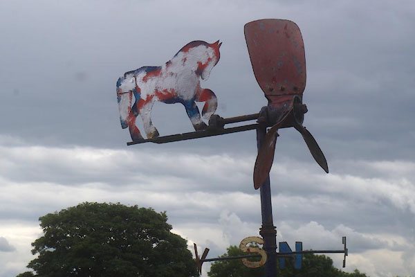 CDP51.jpg Weathervane. (taken 24.7.2015) 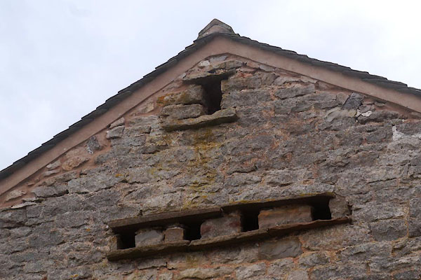 CDP52.jpg Pigeon holes. (taken 24.7.2015) |
||
|
|
||
 Lakes Guides menu.