 Old Cumbria Gazetteer
 |
 |
|
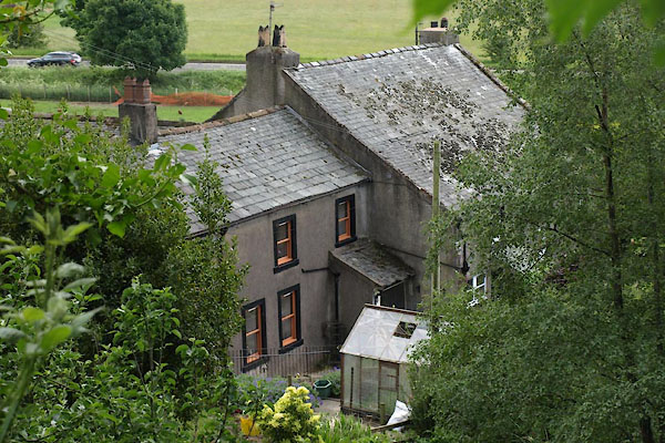
| Scales Farm, Embleton | ||
| Scales Farm | ||
| civil parish:- | Embleton (formerly Cumberland) | |
| county:- | Cumbria | |
| locality type:- | buildings | |
| coordinates:- | NY15893024 | |
| 1Km square:- | NY1530 | |
| 10Km square:- | NY13 | |
| references:- | Listed Buildings 2010 |
|
|
|
||
 BYP56.jpg (taken 21.6.2013) 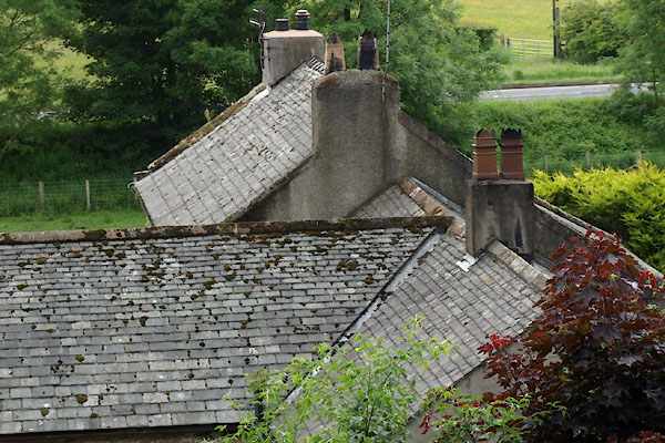 BYP57.jpg (taken 21.6.2013) |
||
|
|
||
| evidence:- | old map:- OS County Series (Cmd 55 6) placename:- Scales |
|
| source data:- | Maps, County Series maps of Great Britain, scales 6 and 25
inches to 1 mile, published by the Ordnance Survey, Southampton,
Hampshire, from about 1863 to 1948. |
|
|
|
||
| evidence:- | database:- Listed Buildings 2010 placename:- Scales Farm |
|
| source data:- | courtesy of English Heritage "SCALES FARMHOUSE AND BARN ADJOINING / / / EMBLETON / ALLERDALE / CUMBRIA / II / 72656 / NY1589530240" |
|
|
|
||
 Lakes Guides menu.