 Old Cumbria Gazetteer
 |
 |
|
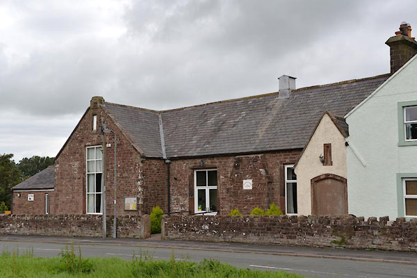
| Allhallows Community Centre, Fletchertown | ||
| Allhallows Community Centre | ||
| locality:- | Fletchertown | |
| civil parish:- | Allhallows (formerly Cumberland) | |
| county:- | Cumbria | |
| locality type:- | village hall | |
| locality type:- | school (ex) | |
| coordinates:- | NY20654294 | |
| 1Km square:- | NY2042 | |
| 10Km square:- | NY24 | |
|
|
||
 CGI39.jpg (taken 4.8.2017) |
||
|
|
||
| evidence:- | old map:- OS County Series (Cmd 36 7) placename:- National School |
|
| source data:- | Maps, County Series maps of Great Britain, scales 6 and 25
inches to 1 mile, published by the Ordnance Survey, Southampton,
Hampshire, from about 1863 to 1948. "National School" |
|
|
|
||
 Lakes Guides menu.