 Old Cumbria Gazetteer
 |
 |
|
|||||||||||||||||
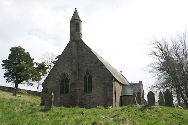
| St John, Nenthead | |||||||||||||||||||
| St John's Church | |||||||||||||||||||
| locality:- | Nenthead | ||||||||||||||||||
| civil parish:- | Alston Moor (formerly Cumberland) | ||||||||||||||||||
| county:- | Cumbria | ||||||||||||||||||
| locality type:- | church | ||||||||||||||||||
| coordinates:- | NY78014402 | ||||||||||||||||||
| 1Km square:- | NY7844 | ||||||||||||||||||
| 10Km square:- | NY74 | ||||||||||||||||||
|
|
|||||||||||||||||||
 BUJ62.jpg (taken 23.4.2011) 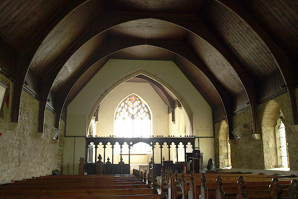 BUJ63.jpg (taken 23.4.2011) |
|||||||||||||||||||
|
|
|||||||||||||||||||
| evidence:- | old map:- OS County Series (Cmd 34 15) placename:- St John's Church |
||||||||||||||||||
| source data:- | Maps, County Series maps of Great Britain, scales 6 and 25
inches to 1 mile, published by the Ordnance Survey, Southampton,
Hampshire, from about 1863 to 1948. "St. John's Church (Pepl. Curacy) / Grave Yard" |
||||||||||||||||||
|
|
|||||||||||||||||||
 stained glass stained glass |
|||||||||||||||||||
|
|
|||||||||||||||||||
| incumbents:- |
|
||||||||||||||||||
|
|
|||||||||||||||||||
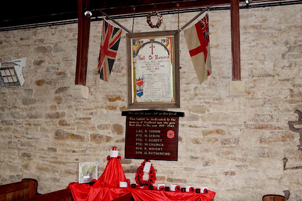 CCL93.jpg War memorial. (taken 20.2.2015) 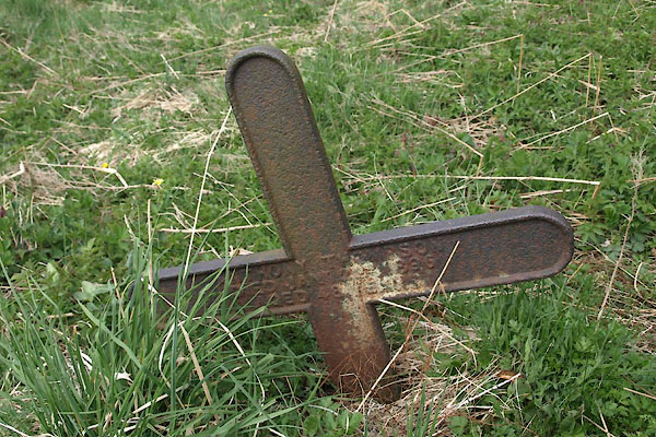 BUJ66.jpg Cast iron grave marker. (taken 23.4.2011) 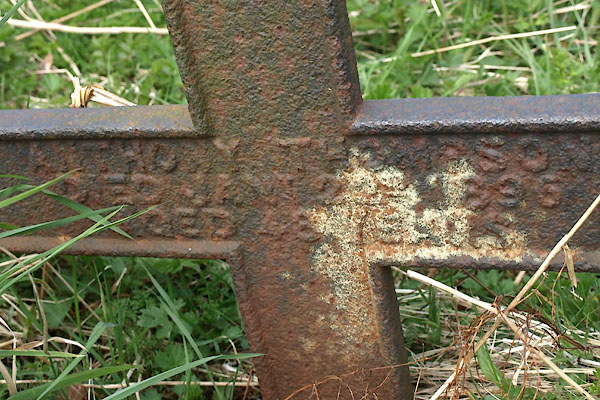 BUJ67.jpg Cast iron grave marker:- "ANTHONY THOM[P]SON / DIED JANY. [ ] 1895 / AGED 48 YEARS" (taken 23.4.2011) |
|||||||||||||||||||
|
|
|||||||||||||||||||
 Lakes Guides menu.