 Old Cumbria Gazetteer
 |
 |
|
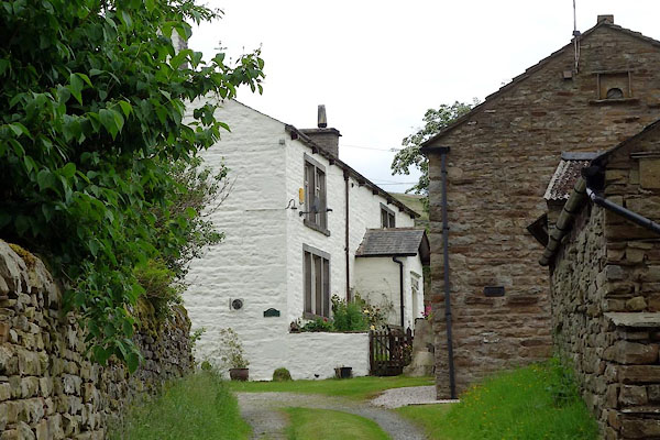
| West Cowgill Farm, Dent | ||
| West Cowgill Farm | ||
| locality:- | Cowgill | |
| locality:- | Dentdale | |
| civil parish:- | Dent (formerly Yorkshire) | |
| county:- | Cumbria | |
| locality type:- | buildings | |
| coordinates:- | SD75688714 | |
| 1Km square:- | SD7587 | |
| 10Km square:- | SD78 | |
| references:- | Listed Buildings 2010 |
|
|
|
||
 BYQ23.jpg (taken 25.6.2013) |
||
|
|
||
| evidence:- | old map:- OS County Series (Yrk 64 15) placename:- Cowgill Houses |
|
| source data:- | Maps, County Series maps of Great Britain, scales 6 and 25
inches to 1 mile, published by the Ordnance Survey, Southampton,
Hampshire, from about 1863 to 1948. |
|
|
|
||
| evidence:- | database:- Listed Buildings 2010 placename:- West Cowgill Farm item:- date stone (1705) |
|
| source data:- | courtesy of English Heritage "WEST COWGILL FARMHOUSE / / / DENT / SOUTH LAKELAND / CUMBRIA / II / 484381 / SD7568087148" |
|
|
|
||
 Lakes Guides menu.