 Old Cumbria Gazetteer
 |
 |
|
| West Pier Lighthouse, Whitehaven Harbour | ||
| West Pier Lighthouse | ||
| site name:- | Whitehaven Harbour | |
| locality:- | Outer Harbour | |
| locality:- | West Pier | |
| locality:- | Whitehaven | |
| civil parish:- | Whitehaven (formerly Cumberland) | |
| county:- | Cumbria | |
| locality type:- | lighthouse | |
| coordinates:- | NX96701868 | |
| 1Km square:- | NX9618 | |
| 10Km square:- | NX91 | |
|
|
||
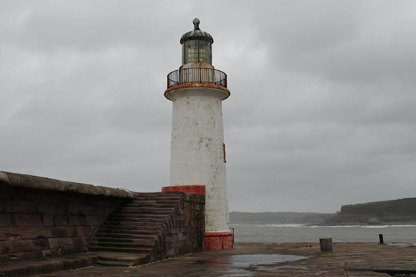 BVS55.jpg (taken 24.11.2011) |
||
|
|
||
| evidence:- | old map:- OS County Series (Cmd 67 2) placename:- Outer Light |
|
| source data:- | Maps, County Series maps of Great Britain, scales 6 and 25
inches to 1 mile, published by the Ordnance Survey, Southampton,
Hampshire, from about 1863 to 1948. "Outer Light (Revolving)" |
|
|
|
||
| evidence:- | old text:- Admiralty 1933 item:- fog signal |
|
| source data:- |  goto source goto sourcePage 390:- "... A light is exhibited, from 2 1/2 hours before until 1 1/2 hours after high water, at an elevation of 52 feet (15m8), from a white circular tower, 47 feet (14m3) in height, situated on the head of West pier. A fog signal is sounded from the lighthouse during the same period." |
|
|
|
||
| evidence:- | database:- Listed Buildings 2010 placename:- West Pier Lighthouse |
|
| source data:- | courtesy of English Heritage "WEST PIER LIGHTHOUSE / / / WHITEHAVEN / COPELAND / CUMBRIA / II / 75898 / NX9670718683" |
|
| source data:- | courtesy of English Heritage "Simple stone lighthouse with glazed lantern and ogival cupola, probably circa 1839." |
|
|
|
||
| MN photo:- |
Innsign, Hensingham. |
|
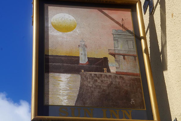 CDK66.jpg (taken 23.6.2015) |
||
|
|
||
Lakes Guides menu.