 Old Cumbria Gazetteer
 |
 |
|
| Whitehaven: Foxhouses Road, 1 and 2 | ||
| Street:- | Foxhouses Road | |
| locality:- | Corkickle | |
| locality:- | Whitehaven | |
| civil parish:- | Whitehaven (formerly Cumberland) | |
| county:- | Cumbria | |
| locality type:- | buildings | |
| coordinates:- | NX98021738 | |
| 1Km square:- | NX9817 | |
| 10Km square:- | NX91 | |
| references:- | Listed Buildings 2010 |
|
|
|
||
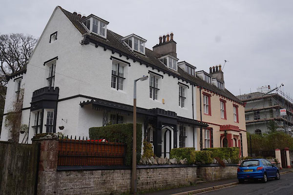 CBY93.jpg (taken 31.10.2014) 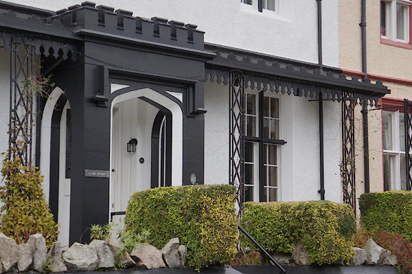 CBY94.jpg Porch and verandah, (taken 31.10.2014) |
||
|
|
||
| evidence:- | probably old map:- OS County Series (Cmd 67 6) placename:- Priory, The |
|
| source data:- | Maps, County Series maps of Great Britain, scales 6 and 25
inches to 1 mile, published by the Ordnance Survey, Southampton,
Hampshire, from about 1863 to 1948. |
|
|
|
||
| evidence:- | database:- Listed Buildings 2010 |
|
| source data:- | courtesy of English Heritage "/ 1,2 / FOXHOUSES ROAD / WHITEHAVEN / COPELAND / CUMBRIA / II / 75938 / NX9802217388" |
|
|
|
||
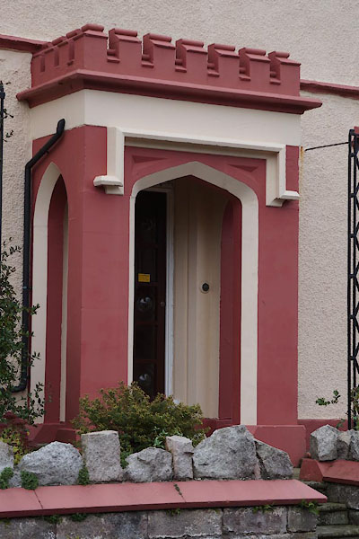 CBY95.jpg Porch. (taken 31.10.2014) |
||
|
|
||
 Lakes Guides menu.