 Old Cumbria Gazetteer
 |
 |
|
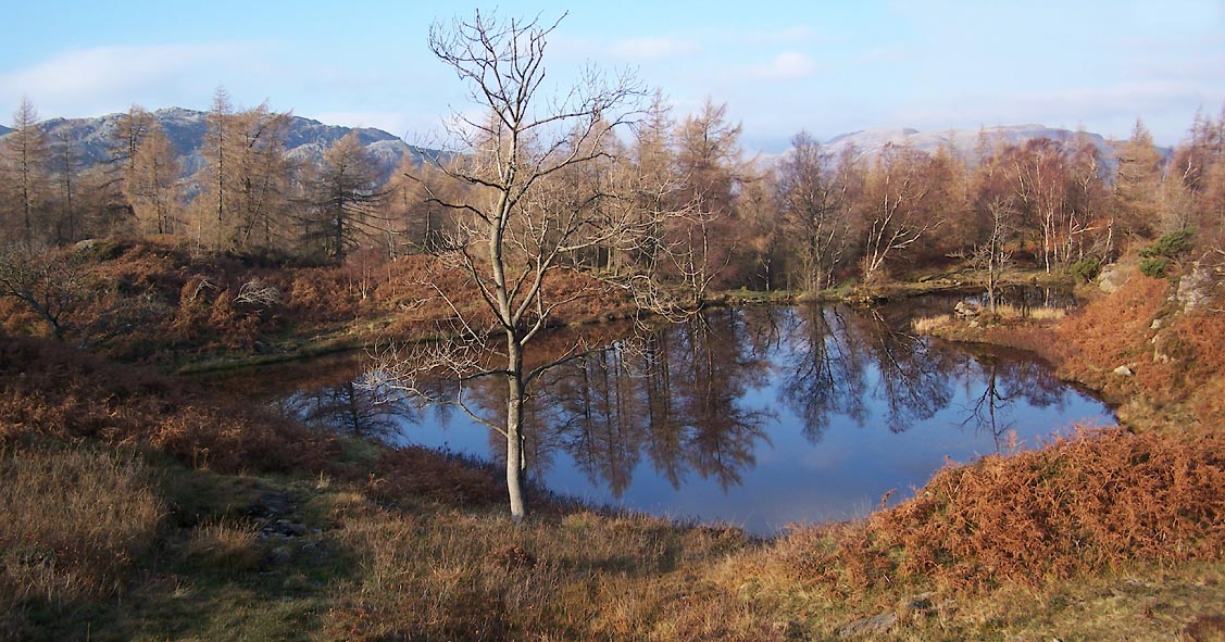
| Holme Ground Tarns, Skelwith | ||
| Holme Ground Tarns | ||
| locality:- | Holme Fell | |
| civil parish:- | Skelwith (formerly Lancashire) | |
| county:- | Cumbria | |
| locality type:- | reservoir (disused) | |
| locality type:- | tarn | |
| coordinates:- | NY31620111 (etc) | |
| coordinates:- | NY31530113 (etc) | |
| 1Km square:- | NY3101 | |
| 10Km square:- | NY30 | |
| altitude:- | 738 feet | |
| altitude:- | 225m | |
| SummaryText:- | pair of reservoirs | |
|
|
||
 Click to enlarge BVR67.jpg (taken 15.11.2011) |
||
|
|
||
| notes:- |
Built to serve the slate quarries. The water was used as a weight to haul up slate
from the quarry. |
|
| Blair 1993 |
||
|
|
||
 Lakes Guides menu.