 Old Cumbria Gazetteer
 |
 |
|
| St George's Schools, Kendal | ||
| St George's Schools | ||
| Street:- | Station Road | |
| locality:- | Kendal | |
| civil parish:- | Kendal (formerly Westmorland) | |
| county:- | Cumbria | |
| locality type:- | school | |
| coordinates:- | SD51919311 | |
| 1Km square:- | SD5193 | |
| 10Km square:- | SD59 | |
|
|
||
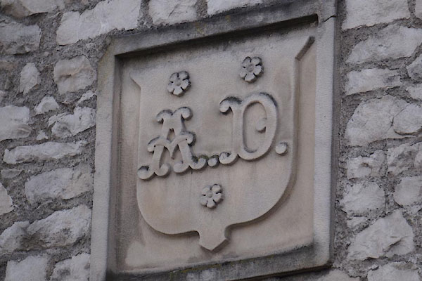
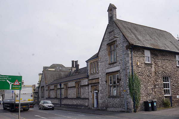 CBR18.jpg (taken 12.9.2014) 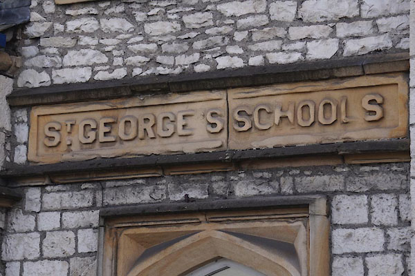 CBR19.jpg (taken 12.9.2014) |
||
|
|
||
| evidence:- | old map:- OS County Series (Wmd 38 4) placename:- St George's School |
|
| source data:- | Maps, County Series maps of Great Britain, scales 6 and 25
inches to 1 mile, published by the Ordnance Survey, Southampton,
Hampshire, from about 1863 to 1948. "St. George's School (Infant)" |
|
|
|
||
 CBR20.jpg (taken 12.9.2014) 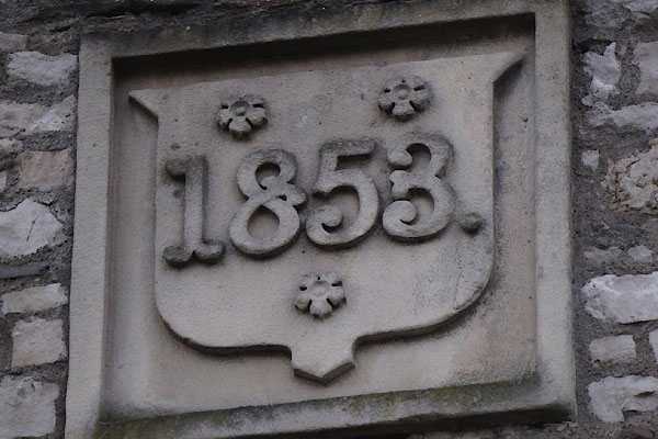 CBR21.jpg (taken 12.9.2014) |
||
|
|
||
 Lakes Guides menu.