 Old Cumbria Gazetteer
 |
 |
|
| Bowderdale Head, Orton S | ||
| Bowderdale Head | ||
| site name:- | Bowderdale Beck | |
| locality:- | Bowderdale | |
| civil parish:- | Orton S (formerly Westmorland) | |
| civil parish:- | Ravenstonedale (formerly Westmorland) | |
| civil parish:- | Sedbergh (formerly Yorkshire) | |
| county:- | Cumbria | |
| locality type:- | locality | |
| locality type:- | pass | |
| locality type:- | boundary feature | |
| locality type:- | parish boundary feature | |
| locality type:- | county boundary feature (? saddle) | |
| coordinates:- | SD68179796 | |
| 1Km square:- | SD6898 | |
| 10Km square:- | SD69 | |
|
|
||
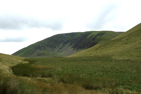 BYZ99.jpg (taken 6.8.2013) |
||
|
|
||
| evidence:- | old map:- OS County Series (Wmd 35 7) placename:- Bowderdale Head |
|
| source data:- | Maps, County Series maps of Great Britain, scales 6 and 25
inches to 1 mile, published by the Ordnance Survey, Southampton,
Hampshire, from about 1863 to 1948. |
|
|
|
||
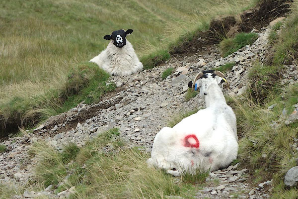 BZA04.jpg Rough Fell sheep, smit mark red circle on rump. (taken 6.8.2013) |
||
|
|
||
 Lakes Guides menu.