 Old Cumbria Gazetteer
 |
 |
|
| Crossings Inn, Stapleton | ||
| locality:- | Crossings | |
| civil parish:- | Stapleton (formerly Cumberland) | |
| county:- | Cumbria | |
| locality type:- | inn | |
| coordinates:- | NY51937202 | |
| 1Km square:- | NY5172 | |
| 10Km square:- | NY57 | |
|
|
||
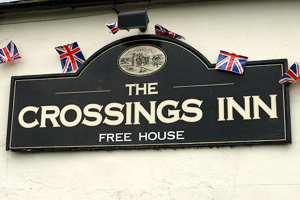 BWQ02.jpg Innsign (taken 1.6.2012) 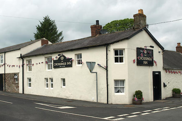 BWQ01.jpg (taken 1.6.2012) |
||
|
|
||
| evidence:- | old map:- OS County Series (Cmd 7 12) placename:- Crown and Thistle |
|
| source data:- | Maps, County Series maps of Great Britain, scales 6 and 25
inches to 1 mile, published by the Ordnance Survey, Southampton,
Hampshire, from about 1863 to 1948. "Crown & Thistle / (P.H)" |
|
|
|
||
 Lakes Guides menu.