Old Cumbria Gazetteer
 |
 |
|
||
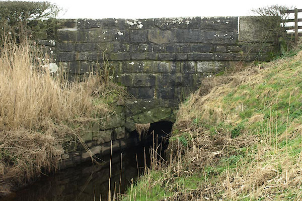
| drain, Meathop and Ulpha | ||||
| locality:- | Meathop Marsh | |||
| civil parish:- | Meathop and Ulpha (formerly Westmorland) | |||
| county:- | Cumbria | |||
| locality type:- | drain | |||
| locality type:- | river | |||
| coordinates:- | SD452809 (etc) | |||
| 1Km square:- | SD4580 | |||
| 10Km square:- | SD48 | |||
|
|
||||
| evidence:- | perhaps old map:- Jefferys 1770 (Wmd) |
|||
| source data:- | Map, 4 sheets, The County of Westmoreland, scale 1 inch to 1
mile, surveyed 1768, and engraved and published by Thomas
Jefferys, London, 1770.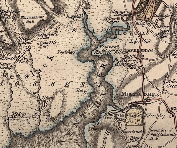 J5SD48SE.jpg single or double wiggly line; river item:- National Library of Scotland : EME.s.47 Image © National Library of Scotland |
|||
|
|
||||
| evidence:- | perhaps old map:- Cary 1789 (edn 1805) |
|||
| source data:- | Map, uncoloured engraving, Westmoreland, scale about 2.5 miles
to 1 inch, by John Cary, London, 1789; edition 1805.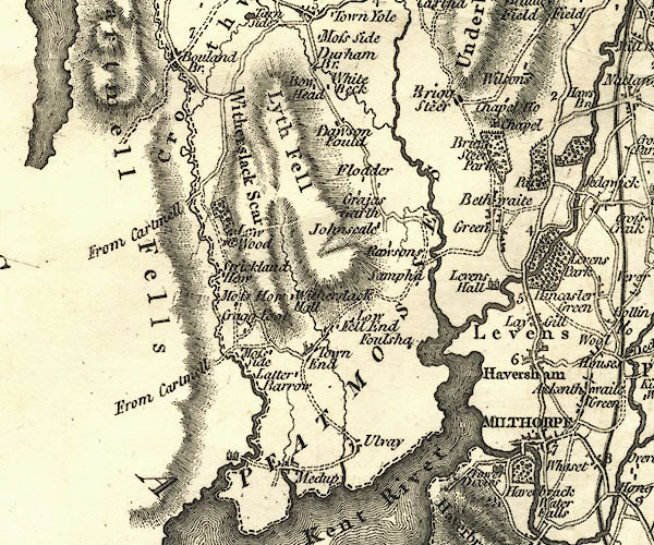 CY24SD48.jpg river running into the Kent Estuary item:- JandMN : 129 Image © see bottom of page |
|||
|
|
||||
| places:- |
|
|||
 Lakes Guides menu.