 Old Cumbria Gazetteer
 |
 |
|
| Elizabeth Basin, Maryport Harbour | ||
| Elizabeth Basin | ||
| locality:- | Maryport Harbour | |
| locality:- | Maryport | |
| civil parish:- | Maryport (formerly Cumberland) | |
| county:- | Cumbria | |
| locality type:- | dock | |
| coordinates:- | NY03223661 (etc) | |
| 1Km square:- | NY0336 | |
| 10Km square:- | NY03 | |
|
|
||
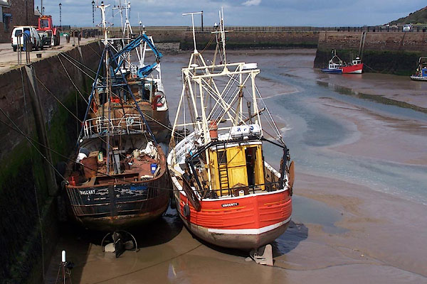 BNS19.jpg Trawlers. (taken 25.5.2007) 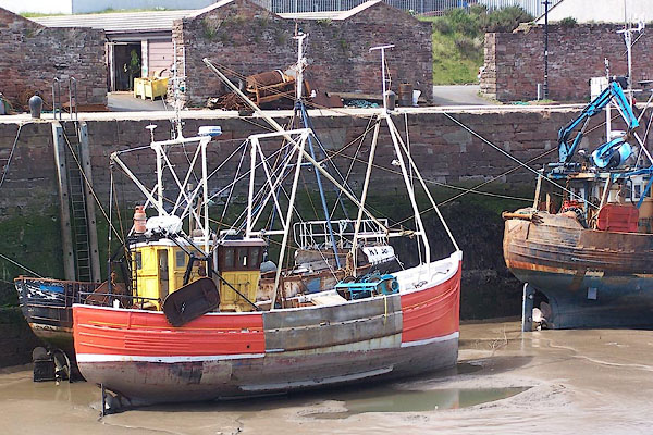 BNS14.jpg Trawler. (taken 25.5.2007) |
||
|
|
||
| evidence:- | old map:- OS County Series (Cmd 44 8) placename:- Dock Basin |
|
| source data:- | Maps, County Series maps of Great Britain, scales 6 and 25
inches to 1 mile, published by the Ordnance Survey, Southampton,
Hampshire, from about 1863 to 1948. |
|
|
|
||
| evidence:- | old text:- Admiralty 1933 placename:- Elizabeth Basin |
|
| source data:- |  goto source goto sourcePage 396:- "... Elizabeth basin, 1,050 feet (320m0) [of quayage], with depths of about 22 feet (6m7) alongside at high water springs; ..." |
|
|
|
||
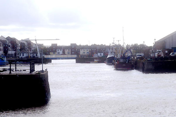 CFN66.jpg (taken 30.9.2016) |
||
|
|
||
Lakes Guides menu.