 Old Cumbria Gazetteer
 |
 |
|
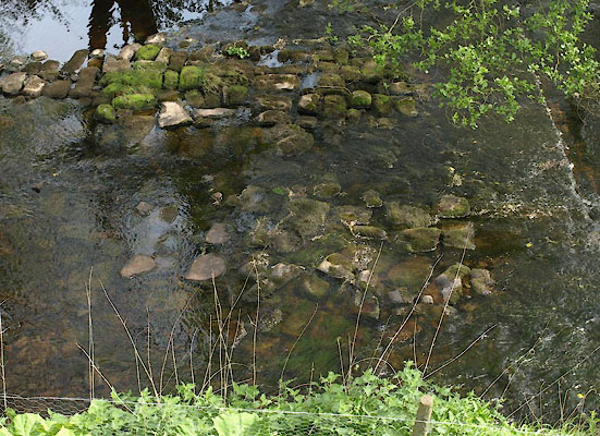
| Kingbridge Ford, Kingwater | ||
| Kingbridge Ford | ||
| site name:- | King Water | |
| civil parish:- | Kingwater (formerly Cumberland) | |
| county:- | Cumbria | |
| locality type:- | ford (disused) | |
| coordinates:- | NY57756747 | |
| 1Km square:- | NY5767 | |
| 10Km square:- | NY56 | |
|
|
||
 BWQ46.jpg (taken 1.6.2012) 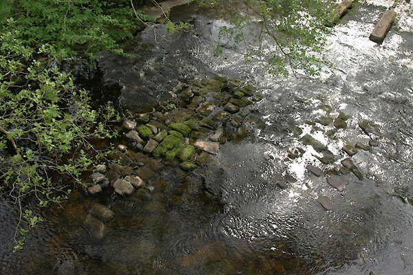 BWQ47.jpg (taken 1.6.2012) |
||
|
|
||
| evidence:- | old map:- OS County Series (Cmd 12 7) placename:- Kingbridge Ford |
|
| source data:- | Maps, County Series maps of Great Britain, scales 6 and 25
inches to 1 mile, published by the Ordnance Survey, Southampton,
Hampshire, from about 1863 to 1948. "Kingbridge Ford" |
|
|
|
||
 Lakes Guides menu.