 Old Cumbria Gazetteer
 |
 |
|
| Lonscale Crags, Underskiddaw | ||
| Lonscale Crags | ||
| locality:- | Lonscale Fell | |
| civil parish:- | Underskiddaw (formerly Cumberland) | |
| county:- | Cumbria | |
| locality type:- | rocks | |
| coordinates:- | NY29112668 (etc) | |
| 1Km square:- | NY2926 | |
| 10Km square:- | NY22 | |
|
|
||
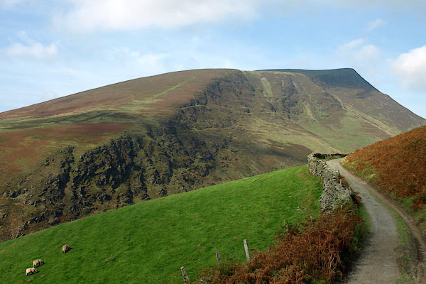 BPR23.jpg (taken 26.9.2008) |
||
|
|
||
| evidence:- | old map:- OS County Series (Cmd 56 15) placename:- Lonscale Crags |
|
| source data:- | Maps, County Series maps of Great Britain, scales 6 and 25
inches to 1 mile, published by the Ordnance Survey, Southampton,
Hampshire, from about 1863 to 1948. |
|
|
|
||
 Lakes Guides menu.