 Old Cumbria Gazetteer
 |
 |
|
| mill, Howgill | ||
| site name:- | Chapel Beck | |
| locality:- | Howgill | |
| civil parish:- | Sedbergh (formerly Yorkshire) | |
| county:- | Cumbria | |
| locality type:- | buildings | |
| locality type:- | water mill (ex) | |
| locality type:- | mill (ex) | |
| coordinates:- | SD63239497 | |
| 1Km square:- | SD6394 | |
| 10Km square:- | SD69 | |
|
|
||
| MN photo:- |
The nearest builing is probably the mill. |
|
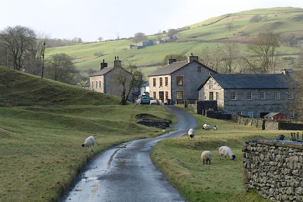 BXR07.jpg (taken 23.11.2012) 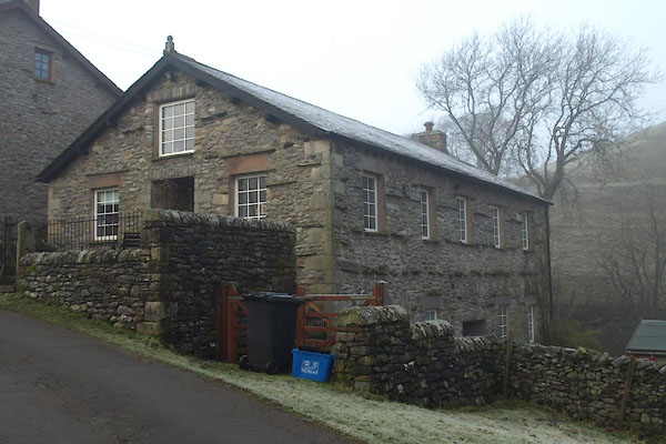 BXT81.jpg (taken 9.1.2013) |
||
| The level grass bank from the crest of the road where then van stands, leftwards,
continues as a level to near Chapel Bridge; it was the course of the mill lade from
a weir just below the bridge. |
||
|
|
||
| evidence:- | old map:- OS County Series (Yrk 48 10) |
|
| source data:- | Maps, County Series maps of Great Britain, scales 6 and 25
inches to 1 mile, published by the Ordnance Survey, Southampton,
Hampshire, from about 1863 to 1948. The mill lade is drawn from a weir by Chapel Bridge to near Mill House. |
|
|
|
||
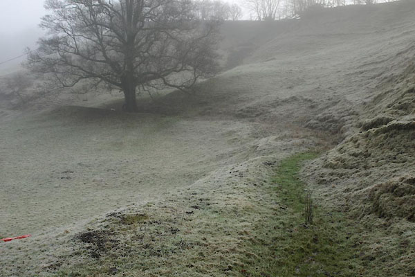 BXT82.jpg Mill lade. (taken 9.1.2013) |
||
|
|
||
 Lakes Guides menu.