 Old Cumbria Gazetteer
 |
 |
|
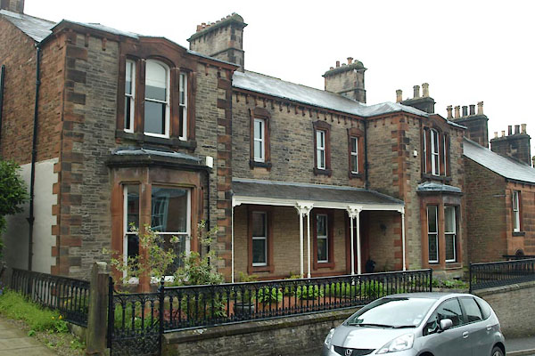
| Penrith: Arthur Street, 51 to 52 | ||
| Aviemore | ||
| Beech Croft | ||
| Street:- | Arthur Street | |
| locality:- | Penrith | |
| civil parish:- | Penrith (formerly Cumberland) | |
| county:- | Cumbria | |
| locality type:- | buildings | |
| coordinates:- | NY51693055 | |
| 1Km square:- | NY5130 | |
| 10Km square:- | NY53 | |
|
|
||
 BWL06.jpg (taken 18.5.2012) 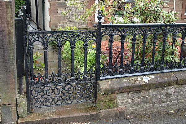 BWL07.jpg Gate and railings. (taken 18.5.2012) |
||
|
|
||
| evidence:- | possibly old map:- OS County Series (Cmd 58 4) placename:- Fern Mount |
|
| source data:- | Maps, County Series maps of Great Britain, scales 6 and 25
inches to 1 mile, published by the Ordnance Survey, Southampton,
Hampshire, from about 1863 to 1948. |
|
|
|
||
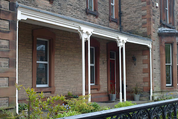 BWL08.jpg Porch. (taken 18.5.2012) |
||
|
|
||
 Lakes Guides menu.