Old Cumbria Gazetteer
 |
 |
|
||
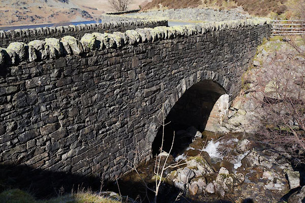
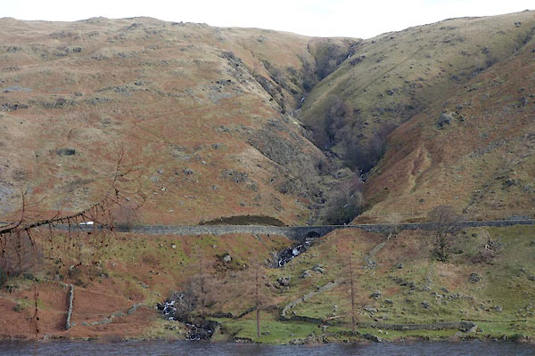
| Rowantreethwaite Beck | ||||
| locality:- | Mardale Common | |||
| civil parish:- | Shap Rural (formerly Westmorland) | |||
| county:- | Cumbria | |||
| locality type:- | river | |||
| 1Km square:- | NY4811 (etc) | |||
| 10Km square:- | NY41 | |||
|
|
||||
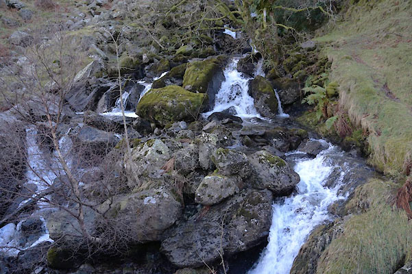 BZT12.jpg (taken 28.12.2013) 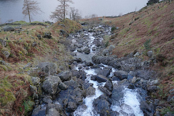 BZT13.jpg (taken 28.12.2013) |
||||
|
|
||||
| evidence:- | old map:- Jefferys 1770 (Wmd) |
|||
| source data:- | Map, 4 sheets, The County of Westmoreland, scale 1 inch to 1
mile, surveyed 1768, and engraved and published by Thomas
Jefferys, London, 1770.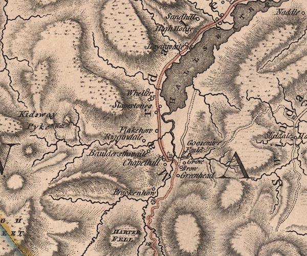 J5NY41SE.jpg single or double wiggly line; river item:- National Library of Scotland : EME.s.47 Image © National Library of Scotland |
|||
|
|
||||
 BZW68.jpg (taken 10.2.2014) |
||||
|
|
||||
| places:- |
|
|||
 Lakes Guides menu.