 Old Cumbria Gazetteer
 |
 |
|
| stone wall, Whicham | ||
| locality:- | Black Combe | |
| civil parish:- | Whicham (formerly Cumberland) | |
| county:- | Cumbria | |
| locality type:- | stone wall | |
| coordinates:- | SD11828717 | |
| 1Km square:- | SD1187 | |
| 10Km square:- | SD18 | |
| amateur | ||
| stratigraphy:- | mudstone; siltstone | |
| stratigraphy:- | Ordovician; Arenig | |
| stratigraphy:- | Ordovician; Llanvirn | |
|
|
||
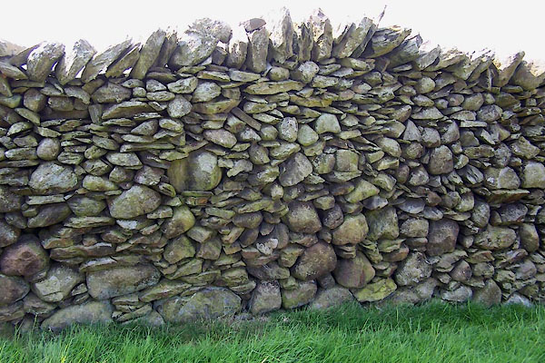 BWQ79.jpg (taken 27.5.2012) 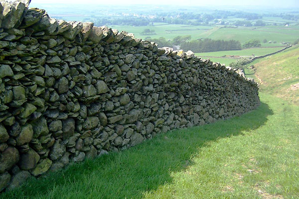 BWQ80.jpg Looking down Butcher's Breast (taken 27.5.2012) |
||
|
|
||
 Lakes Guides menu.