 Old Cumbria Gazetteer
 |
 |
|
| Levens CofE Primary School, Levens | ||
| Levens CofE Primary School | ||
| Levens School | ||
| locality:- | Levens | |
| civil parish:- | Levens (formerly Westmorland) | |
| county:- | Cumbria | |
| locality type:- | school | |
| coordinates:- | SD48808594 | |
| 1Km square:- | SD4885 | |
| 10Km square:- | SD48 | |
|
|
||
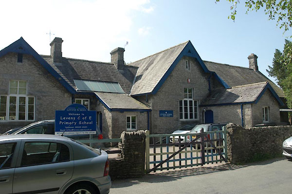 BYU16.jpg (taken 11.7.2013) 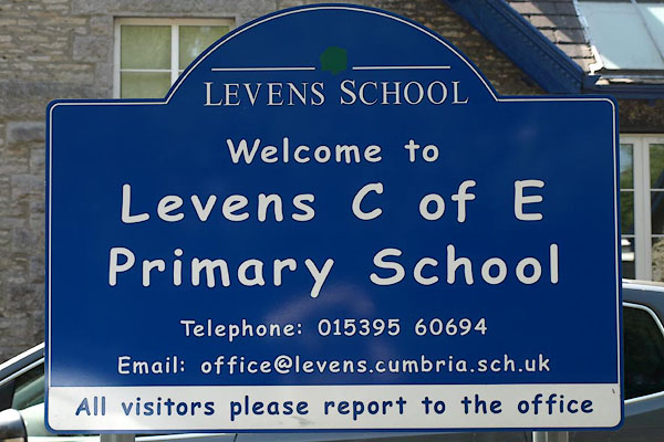 BYU17.jpg Sign. (taken 11.7.2013) |
||
|
|
||
| evidence:- | old map:- OS County Series (Wmd 42 7) |
|
| source data:- | Maps, County Series maps of Great Britain, scales 6 and 25
inches to 1 mile, published by the Ordnance Survey, Southampton,
Hampshire, from about 1863 to 1948. "School" |
|
|
|
||
| hearsay:- |
A new school for girls was set up by Mary Howard of Levens Hall, 1810. A school for
boys was set up by her husband a little later. |
|
| The two schools were brought together as the present school. |
||
|
|
||
 Lakes Guides menu.