 Old Cumbria Gazetteer
 |
 |
|
| Scale Tarn, Claife | ||
| Scale Head Tarn | ||
| locality:- | Claife Heights | |
| civil parish:- | Claife (formerly Lancashire) | |
| county:- | Cumbria | |
| locality type:- | tarn | |
| coordinates:- | SD37289754 | |
| 1Km square:- | SD3797 | |
| 10Km square:- | SD39 | |
| altitude:- | 656 feet | |
| altitude:- | 200m | |
|
|
||
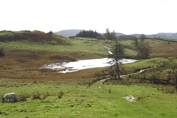 CGS44.jpg (taken 12.10.2017) |
||
|
|
||
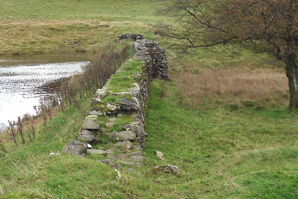 CGS45.jpg Dam. (taken 12.10.2017) 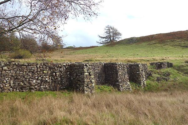 CGS46.jpg Dam. (taken 12.10.2017) 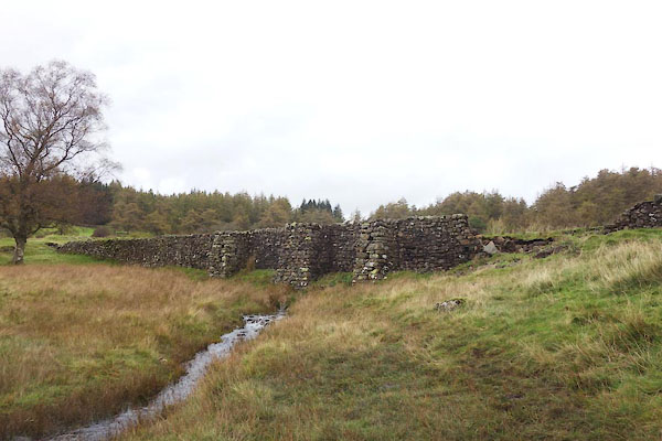 CGS47.jpg Dam. (taken 12.10.2017) 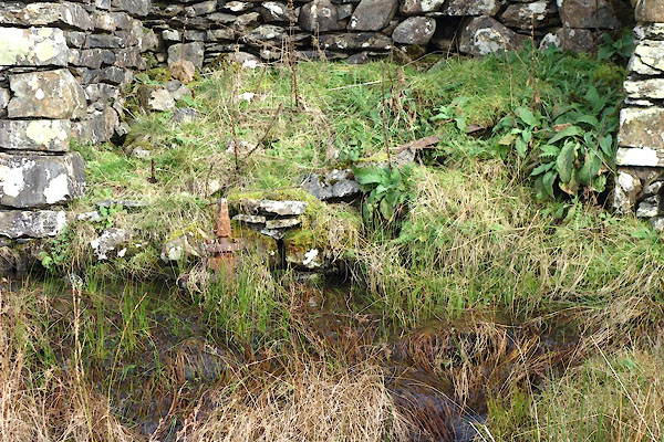 CGS49.jpg Remains of sluice gear. (taken 12.10.2017) |
||
|
|
||
 Lakes Guides menu.