 Old Cumbria Gazetteer
 |
 |
|
| Bank Mill, Holme St Cuthbert | ||
| gone? | ||
| Bank Mill | ||
| civil parish:- | Holme St Cuthbert (formerly Cumberland) | |
| county:- | Cumbria | |
| locality type:- | windmill | |
| locality type:- | mill | |
| locality type:- | corn mill | |
| coordinates:- | NY08724780 (about) | |
| 1Km square:- | NY0847 | |
| 10Km square:- | NY04 | |
|
|
||
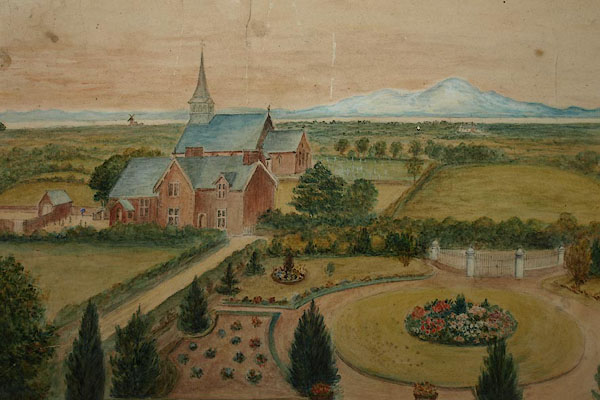 BPI33.jpg Painting in St Cuthbert's Church; windmill in the background. (taken 14.6.2008) |
||
|
|
||
| evidence:- | old map:- OS County Series (Cmd 27 10) placename:- Bank Mill |
|
| source data:- | Maps, County Series maps of Great Britain, scales 6 and 25
inches to 1 mile, published by the Ordnance Survey, Southampton,
Hampshire, from about 1863 to 1948. "Bank Mill (Corn)" |
|
|
|
||
 Lakes Guides menu.