 Old Cumbria Gazetteer
 |
 |
|
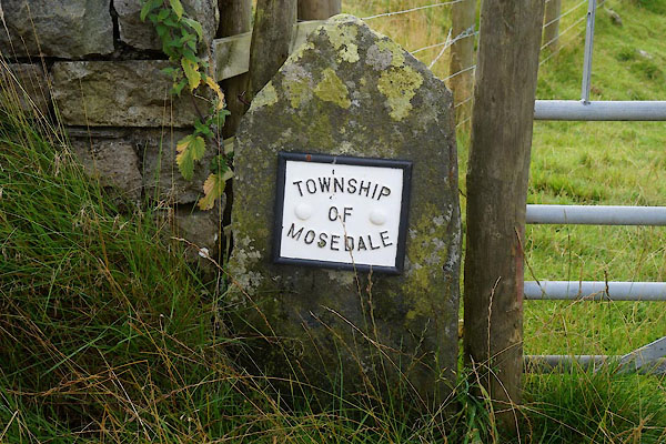
| boundary stone, Mungrisdale | ||
| locality:- | Low Mill Bridge | |
| locality:- | Mosedale | |
| civil parish:- | Mungrisdale (formerly Cumberland) | |
| county:- | Cumbria | |
| locality type:- | boundary stone | |
| locality type:- | township boundary | |
| coordinates:- | NY36553249 | |
| 1Km square:- | NY3632 | |
| 10Km square:- | NY33 | |
|
|
||
 CDY22.jpg (taken 18.9.2015) |
||
| Recently conserved, or replaced. |
||
|
|
||
 Lakes Guides menu.