 |
 |
|
|
|
|
Chalkfoot |
| civil parish:- |
Dalston (formerly Cumberland) |
| civil parish:- |
Westward (formerly Cumberland) (?) |
| county:- |
Cumbria |
| locality type:- |
locality |
| locality type:- |
buildings |
| coordinates:- |
NY33914857 (etc) |
| 1Km square:- |
NY3348 |
| 10Km square:- |
NY34 |
|
|
| evidence:- |
old map:- OS County Series (Cmd 30 5)
placename:- Chalkfoot
|
| source data:- |
Maps, County Series maps of Great Britain, scales 6 and 25
inches to 1 mile, published by the Ordnance Survey, Southampton,
Hampshire, from about 1863 to 1948.
|
|
|
| places:- |
 |
NY33864839 Chalkbottom (Westward) |
|
|
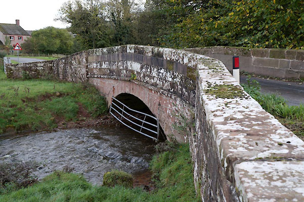 |
NY33834855 Chalkfoot Bridge (Dalston / Westward) |
|
|
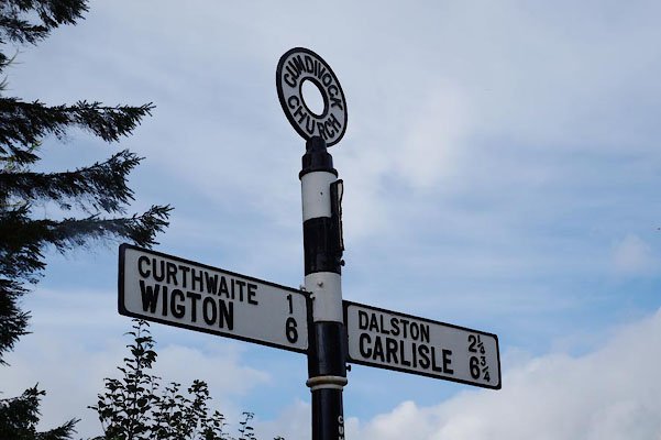 |
NY33844875 fingerpost, Cumdivock (2) (Dalston) |
|
|
|
NY33924854 Masons' Arms (Dalston) |
|
|
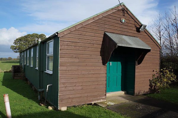 |
NY34054873 Reading Room, The (Dalston) |
|
|
|
NY33924860 Chalkfoot (Dalston) gone |
|
|
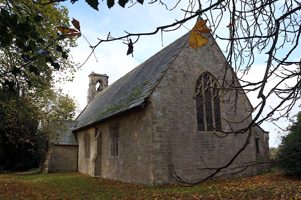 |
NY33864876 St John's Church (Dalston) |
|
|
|
NY34064844 Toddle Hill (Dalston) |
|
|
|
NY33954848 Toddle Row (Dalston) |
|
|
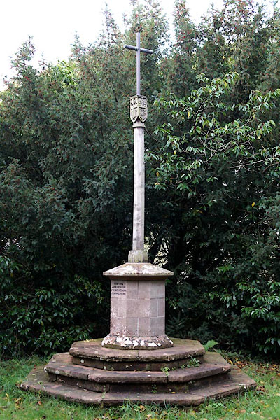 |
NY33854874 war memorial, Cumdivock (Dalston) |
|
