 Old Cumbria Gazetteer
 |
 |
|
| Demesne Farmhouse, Burgh by Sands | ||
| Demesne Farmhouse | ||
| locality:- | Burgh by Sands | |
| civil parish:- | Burgh by Sands (formerly Cumberland) | |
| county:- | Cumbria | |
| locality type:- | buildings | |
| locality type:- | inn (ex) | |
| coordinates:- | NY32785914 | |
| 1Km square:- | NY3259 | |
| 10Km square:- | NY35 | |
|
|
||
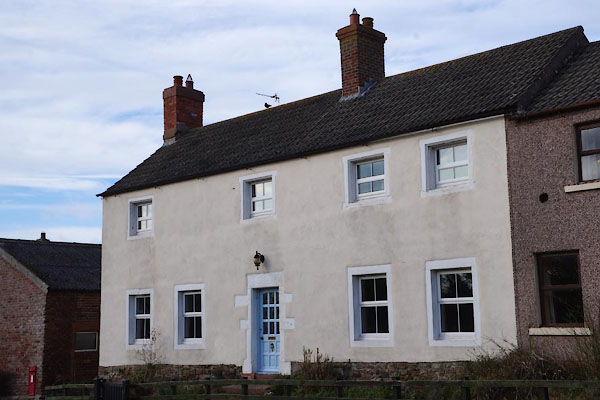 BZY76.jpg (taken 28.2.2104) |
||
|
|
||
| evidence:- | old map:- OS County Series (Cmd 15 12) placename:- Lowther Arms |
|
| source data:- | Maps, County Series maps of Great Britain, scales 6 and 25
inches to 1 mile, published by the Ordnance Survey, Southampton,
Hampshire, from about 1863 to 1948. |
|
|
|
||
 Lakes Guides menu.