 Old Cumbria Gazetteer
 |
 |
|
| Eller Howe, Ambleside | ||
| Eller Howe | ||
| Street:- | Ellerigg Road | |
| locality:- | Ambleside | |
| civil parish:- | Lakes (formerly Westmorland) | |
| county:- | Cumbria | |
| locality type:- | buildings | |
| coordinates:- | NY37850509 | |
| 1Km square:- | NY3705 | |
| 10Km square:- | NY30 | |
|
|
||
| evidence:- | old map:- OS County Series (Wmd 26 6) placename:- Eller How |
|
| source data:- | Maps, County Series maps of Great Britain, scales 6 and 25
inches to 1 mile, published by the Ordnance Survey, Southampton,
Hampshire, from about 1863 to 1948. |
|
|
|
||
| evidence:- | old drawing:- Aspland 1840s-60s placename:- Eller How |
|
| source data:- | Drawing, pencil, rustic footbridge, Eller Howe, Ambleside, Westmorland, by Theophilus
Lindsey Aspland, 1868-69.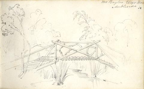 click to enlarge click to enlargeAS0612.jpg "Mr Bayles Eller How / Ambleside" page number "12" item:- Armitt Library : 2008.61.12 Image © see bottom of page |
|
|
|
||
 Lakes Guides menu.