 Old Cumbria Gazetteer
 |
 |
|
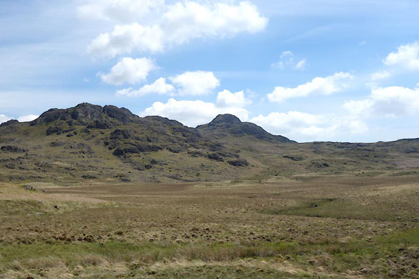
| Foxbield Moss, Eskdale | ||
| Foxbield Moss | ||
| civil parish:- | Eskdale (formerly Cumberland) | |
| county:- | Cumbria | |
| locality type:- | moss | |
| coordinates:- | SD19099887 (etc) | |
| 1Km square:- | SD1998 | |
| 10Km square:- | SD19 | |
|
|
||
 CDF16.jpg (taken 4.6.2015) 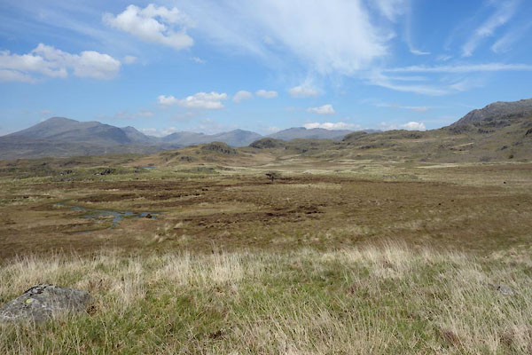 CDF28.jpg (taken 4.6.2015) |
||
|
|
||
| evidence:- | old map:- OS County Series (Cmd 83 3) placename:- Foxbield Moss |
|
| source data:- | Maps, County Series maps of Great Britain, scales 6 and 25
inches to 1 mile, published by the Ordnance Survey, Southampton,
Hampshire, from about 1863 to 1948. |
|
|
|
||
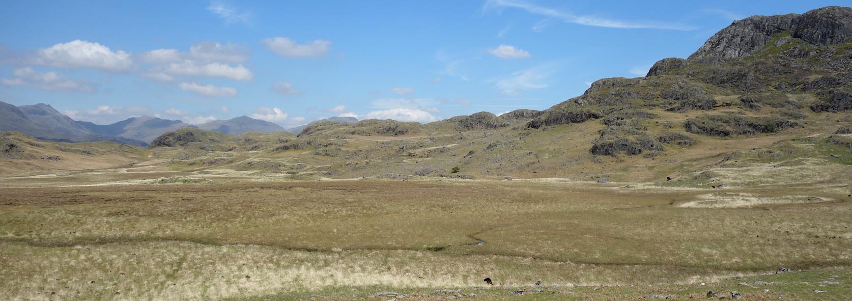 Click to enlarge CDF17.jpg (taken 4.6.2015) |
||
|
|
||
 Lakes Guides menu.