 Old Cumbria Gazetteer
 |
 |
|
| island, Cockermouth | ||
| locality:- | Cockermouth | |
| civil parish:- | Cockermouth (formerly Cumberland) | |
| county:- | Cumbria | |
| locality type:- | island | |
| coordinates:- | NY11803077 (?) | |
| 1Km square:- | NY1130 | |
| 10Km square:- | NY13 | |
| SummaryText:- | perhaps a sandbank that appears occasionally? the river bed is so much dredged that it may be gone | |
|
|
||
| evidence:- | old map:- Donald 1774 (Cmd) |
|
| source data:- | Map, hand coloured engraving, 3x2 sheets, The County of Cumberland, scale about 1
inch to 1 mile, by Thomas Donald, engraved and published by Joseph Hodskinson, 29
Arundel Street, Strand, London, 1774.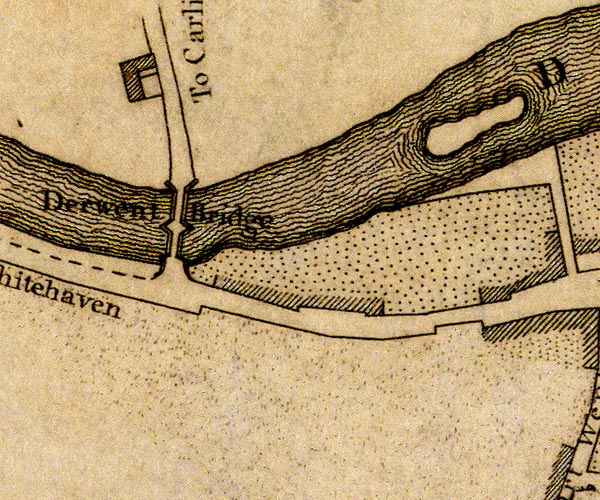 D41130T.jpg island item:- Carlisle Library : Map 2 Image © Carlisle Library |
|
|
|
||
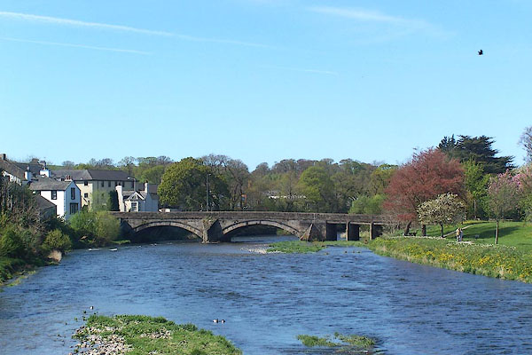 BNP57.jpg (taken 26.4.2007) |
||
| is this the 'island' in the foreground? |
||
|
|
||
 Lakes Guides menu.