 Old Cumbria Gazetteer
 |
 |
|
| Knicklethorns, Martindale | ||
| Knicklethorns | ||
| locality:- | Martindale | |
| civil parish:- | Martindale (formerly Westmorland) | |
| county:- | Cumbria | |
| locality type:- | building/s (ruin) | |
| coordinates:- | NY43251821 | |
| 1Km square:- | NY4318 | |
| 10Km square:- | NY41 | |
|
|
||
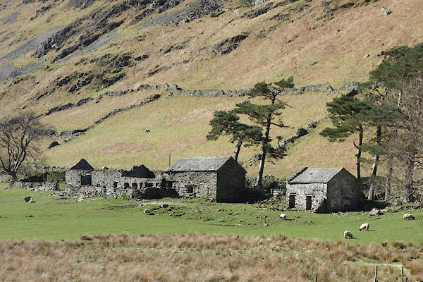 CCU77.jpg (taken 8.4.2015) |
||
|
|
||
| evidence:- | old map:- OS County Series (Wmd 12 8) placename:- Nicklethorn |
|
| source data:- | Maps, County Series maps of Great Britain, scales 6 and 25
inches to 1 mile, published by the Ordnance Survey, Southampton,
Hampshire, from about 1863 to 1948. |
|
|
|
||
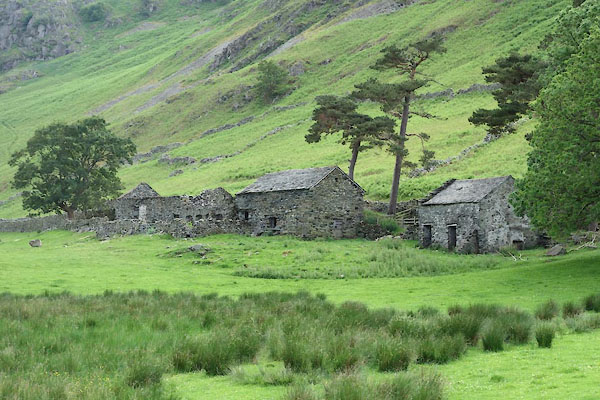 CDM20.jpg (taken 30.6.2015) |
||
|
|
||
 Lakes Guides menu.