 Old Cumbria Gazetteer
 |
 |
|
| Low Crossgill, Alston Moor | ||
| Low Crossgill | ||
| Crossgill Farm | ||
| locality:- | Crossgill | |
| civil parish:- | Alston Moor (formerly Cumberland) | |
| county:- | Cumbria | |
| locality type:- | buildings | |
| coordinates:- | NY74754082 | |
| 1Km square:- | NY7440 | |
| 10Km square:- | NY74 | |
|
|
||
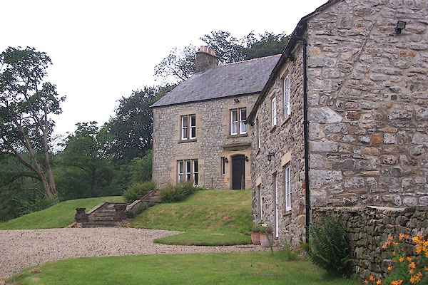 BML61.jpg (taken 29.7.2006) 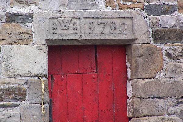 BML62.jpg Crossgill Farm? date stone on a barn:- "W / I I 1790" (taken 29.7.2006) |
||
|
|
||
| evidence:- | old map:- OS County Series (Cmd 42 6) placename:- Low Crossgill placename:- Crossgill, Low |
|
| source data:- | Maps, County Series maps of Great Britain, scales 6 and 25
inches to 1 mile, published by the Ordnance Survey, Southampton,
Hampshire, from about 1863 to 1948. |
|
|
|
||
 Lakes Guides menu.