 Old Cumbria Gazetteer
 |
 |
|
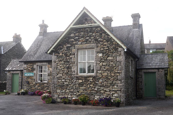
| Newton in Cartmel Village Hall, High Newton | ||
| Newton in Cartmel Village Hall | ||
| locality:- | High Newton | |
| civil parish:- | Upper Allithwaite (formerly Lancashire) | |
| county:- | Cumbria | |
| locality type:- | village hall | |
| locality type:- | school (ex) | |
| coordinates:- | SD40138294 | |
| 1Km square:- | SD4082 | |
| 10Km square:- | SD48 | |
|
|
||
 CDX57.jpg (taken 11.9.2015) |
||
|
|
||
| evidence:- | old map:- OS County Series (Lan 12 8) |
|
| source data:- | Maps, County Series maps of Great Britain, scales 6 and 25
inches to 1 mile, published by the Ordnance Survey, Southampton,
Hampshire, from about 1863 to 1948. "School" |
|
|
|
||
 Lakes Guides menu.