 Old Cumbria Gazetteer
 |
 |
|
| Pave York Lead Mine, Coniston | ||
| Pave York Lead Mine | ||
| locality:- | Tilberthwaite High Fells | |
| civil parish:- | Coniston (formerly Lancashire) | |
| county:- | Cumbria | |
| locality type:- | lead mine | |
| locality type:- | mine | |
| coordinates:- | NY29120168 | |
| coordinates:- | NY29090174 | |
| coordinates:- | NY29110161 | |
| 1Km square:- | NY2901 | |
| 10Km square:- | NY20 | |
|
|
||
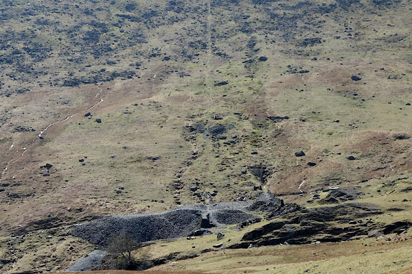 CCY04.jpg Inclined tramroad to the Greenburn mine below. (taken 22.4.2015) |
||
|
|
||
 Lakes Guides menu.