 Old Cumbria Gazetteer
 |
 |
|
| Penrith: Southend Road | ||
| Southend Road | ||
| locality:- | Penrith | |
| civil parish:- | Penrith (formerly Cumberland) | |
| county:- | Cumbria | |
| locality type:- | street | |
| coordinates:- | NY51742985 (etc) | |
| 1Km square:- | NY5129 | |
| 10Km square:- | NY52 | |
|
|
||
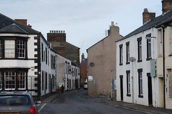 BZS42.jpg North part. (taken 6.12.2013) |
||
|
|
||
| evidence:- | old map:- OS County Series (Cmd 58 4) placename:- South End Road |
|
| source data:- | Maps, County Series maps of Great Britain, scales 6 and 25
inches to 1 mile, published by the Ordnance Survey, Southampton,
Hampshire, from about 1863 to 1948. |
|
|
|
||
| evidence:- | old map:- OS County Series (Cmd 58 8) placename:- Southend Road |
|
| source data:- | Maps, County Series maps of Great Britain, scales 6 and 25
inches to 1 mile, published by the Ordnance Survey, Southampton,
Hampshire, from about 1863 to 1948. |
|
|
|
||
 Lakes Guides menu.