 |
 |
|
|
|
|
Pool Bank |
| civil parish:- |
Crosthwaite and Lyth (formerly Westmorland) |
| county:- |
Cumbria |
| locality type:- |
locality |
| locality type:- |
buildings |
| coordinates:- |
SD43018784 (etc) |
| 1Km square:- |
SD4387 |
| 10Km square:- |
SD48 |
|
|
|
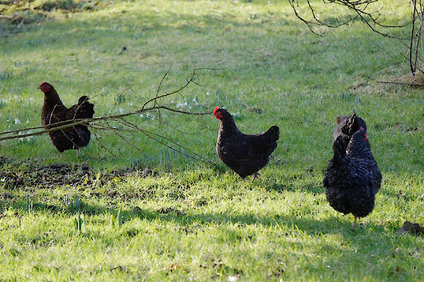
CCH99.jpg Chickens.
(taken 4.2.2105)
|
|
|
| evidence:- |
old map:- OS County Series (Wmd 41 4)
placename:- Pool Bank
|
| source data:- |
Maps, County Series maps of Great Britain, scales 6 and 25
inches to 1 mile, published by the Ordnance Survey, Southampton,
Hampshire, from about 1863 to 1948.
|
|
|
| places:- |
 |
SD42858768 Cowclose Wood (Crosthwaite and Lyth) |
|
|
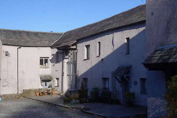 |
SD43038786 house, Pool Bank (Crosthwaite and Lyth) |
|
|
|
Poolbank Meeting House (Crosthwaite and Lyth) possibly once |
|
|
|
SD43018782 Pool Bank Farm (Crosthwaite and Lyth) L |
|
|
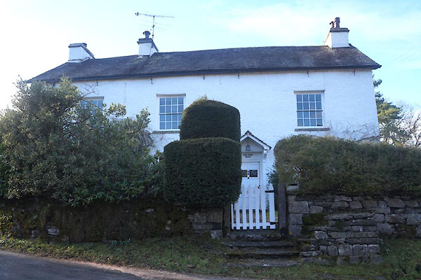 |
SD42998784 Pool Bank House (Crosthwaite and Lyth) L |
|
|
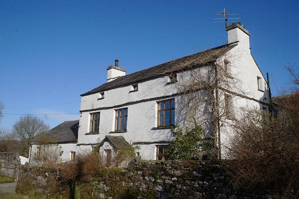 |
SD43028788 Pool Bank North (Crosthwaite and Lyth) L |
|
