 Old Cumbria Gazetteer
 |
 |
|
| Rawgreen, New Hutton | ||
| Rawgreen | ||
| locality:- | New Hutton | |
| civil parish:- | New Hutton (formerly Westmorland) | |
| county:- | Cumbria | |
| locality type:- | buildings | |
| locality type:- | locality | |
| coordinates:- | SD56239126 | |
| 1Km square:- | SD5691 | |
| 10Km square:- | SD59 | |
|
|
||
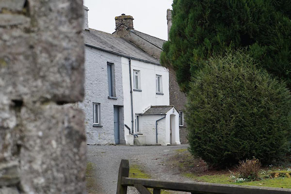 BZU10.jpg (taken 31.1.2014) 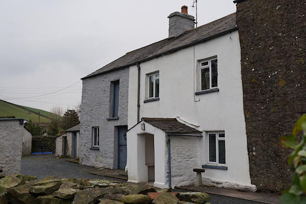 BZU11.jpg (taken 31.1.2014) |
||
|
|
||
| evidence:- | old map:- OS County Series (Wmd 39 10) placename:- Rawgreen |
|
| source data:- | Maps, County Series maps of Great Britain, scales 6 and 25
inches to 1 mile, published by the Ordnance Survey, Southampton,
Hampshire, from about 1863 to 1948. |
|
|
|
||
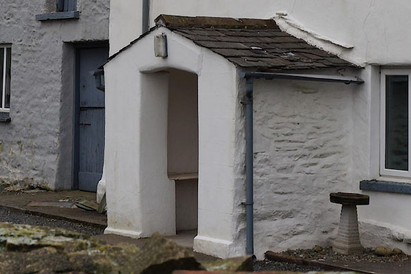 BZU12.jpg Porch. (taken 31.1.2014) |
||
|
|
||
 Lakes Guides menu.