 Old Cumbria Gazetteer
 |
 |
|
| sheepfold, Mungrisdale (4) | ||
| locality:- | Glenderamackin, River | |
| civil parish:- | Mungrisdale (formerly Cumberland) | |
| county:- | Cumbria | |
| locality type:- | sheepfold | |
| coordinates:- | NY33242862 | |
| 1Km square:- | NY3328 | |
| 10Km square:- | NY32 | |
|
|
||
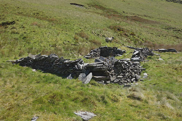 CDI52.jpg (taken 11.6.2015) 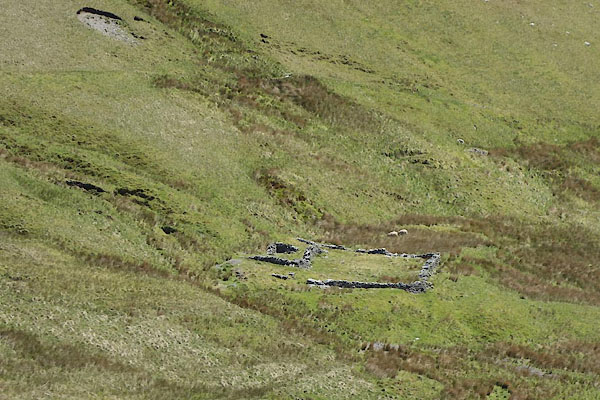 CDI56.jpg (taken 11.6.2015) |
||
|
|
||
| evidence:- | old map:- OS County Series (Cmd 57 5) |
|
| source data:- | Maps, County Series maps of Great Britain, scales 6 and 25
inches to 1 mile, published by the Ordnance Survey, Southampton,
Hampshire, from about 1863 to 1948. |
|
|
|
||
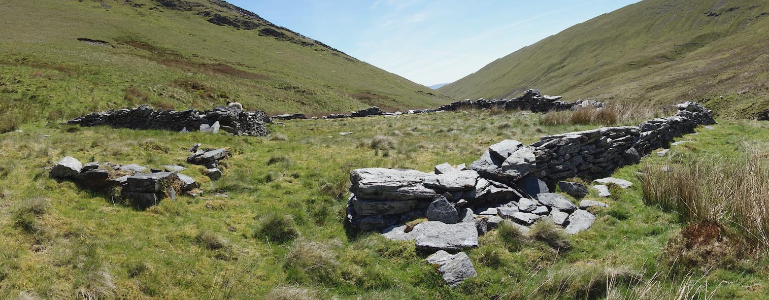 Click to enlarge CDI53.jpg (taken 11.6.2015) 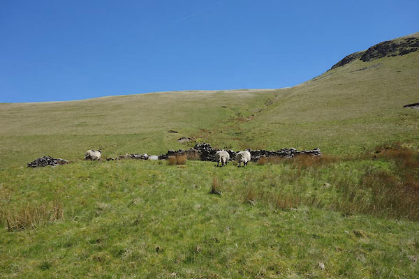 CDI54.jpg (taken 11.6.2015) 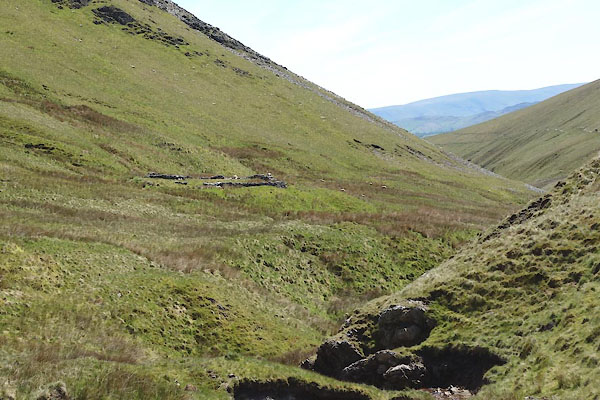 CDI55.jpg (taken 11.6.2015) |
||
|
|
||
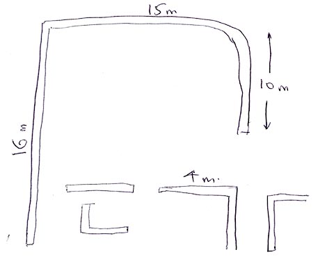
| notes:- |
Courtesy of Colin Smith, 2008 |
|
| Mungrisdale 00058 |
||
 PH0140.jpg |
||
|
|
||
 Lakes Guides menu.