 Old Cumbria Gazetteer
 |
 |
|
| Anglers Arms, Haverthwaite | ||
| Anglers Arms | ||
| locality:- | Haverthwaite | |
| civil parish:- | Haverthwaite (formerly Lancashire) | |
| county:- | Cumbria | |
| locality type:- | inn | |
| coordinates:- | SD34768404 | |
| 1Km square:- | SD3484 | |
| 10Km square:- | SD38 | |
|
|
||
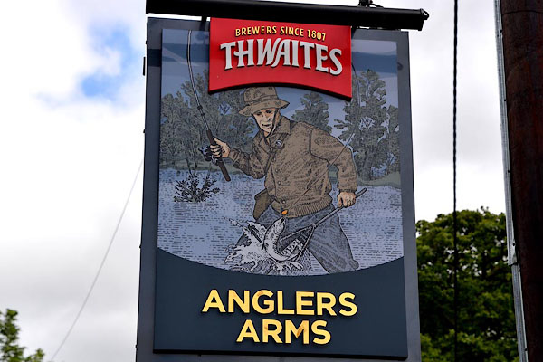 CGH36.jpg Innsign, an angler. (taken 28.7.2017) 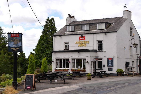 CGH35.jpg (taken 28.7.2017) |
||
|
|
||
| evidence:- | old map:- OS County Series (Lan 12 2) placename:- Angler's Arms |
|
| source data:- | Maps, County Series maps of Great Britain, scales 6 and 25
inches to 1 mile, published by the Ordnance Survey, Southampton,
Hampshire, from about 1863 to 1948. |
|
|
|
||
 Lakes Guides menu.