 Old Cumbria Gazetteer
 |
 |
|
| Broughton Mill, Broughton Mills | ||
| Broughton Mill | ||
| site name:- | Lickle, River | |
| locality:- | Broughton Mills | |
| civil parish:- | Broughton West (formerly Lancashire) | |
| county:- | Cumbria | |
| locality type:- | buildings | |
| locality type:- | water mill (ex) | |
| locality type:- | corn mill (ex) | |
| locality type:- | mill (ex) | |
| coordinates:- | SD22239066 | |
| 1Km square:- | SD2290 | |
| 10Km square:- | SD29 | |
|
|
||
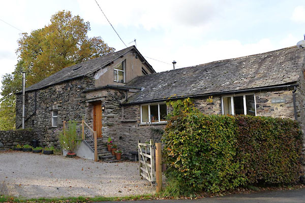 CGS91.jpg (taken 18.10.2017) |
||
|
|
||
| evidence:- | old map:- OS County Series (Lan 6 4) placename:- Broughton Mill |
|
| source data:- | Maps, County Series maps of Great Britain, scales 6 and 25
inches to 1 mile, published by the Ordnance Survey, Southampton,
Hampshire, from about 1863 to 1948. "Broughton Mill (Corn) / Weir / Sluice / Mill Race" |
|
|
|
||
 Lakes Guides menu.