 Old Cumbria Gazetteer
 |
 |
|
| Lonning Head, Caldbeck | ||
| Lonning Head | ||
| locality:- | Greenrigg | |
| civil parish:- | Caldbeck (formerly Cumberland) | |
| county:- | Cumbria | |
| locality type:- | buildings | |
| coordinates:- | NY28583746 | |
| 1Km square:- | NY2837 | |
| 10Km square:- | NY23 | |
|
|
||
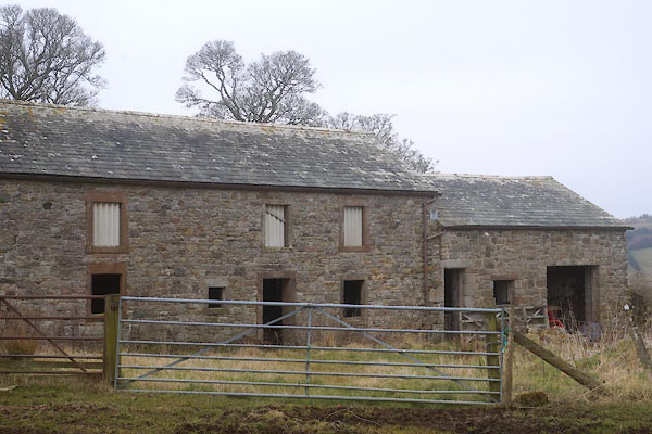 CES88.jpg (taken 18.3.2016) 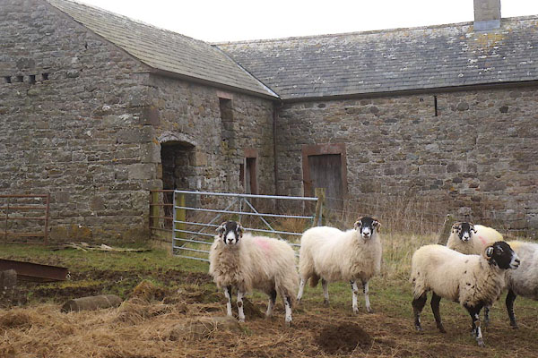 CES89.jpg (taken 18.3.2016) |
||
|
|
||
| evidence:- | old map:- OS County Series (Cmd 47 3) placename:- Lonning Head |
|
| source data:- | Maps, County Series maps of Great Britain, scales 6 and 25
inches to 1 mile, published by the Ordnance Survey, Southampton,
Hampshire, from about 1863 to 1948. |
|
|
|
||
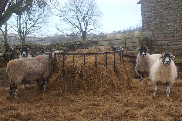 CES90.jpg Swaledale sheep feeding. (taken 18.3.2016) |
||
|
|
||
 Lakes Guides menu.