 Old Cumbria Gazetteer
 |
 |
|
| motorway bridge, Shap Rural | ||
| site name:- | M6, Westmorland | |
| civil parish:- | Shap Rural (formerly Westmorland) | |
| county:- | Cumbria | |
| locality type:- | motorway bridge | |
| coordinates:- | NY56781707 | |
| coordinates:- | NY57021725 | |
| 1Km square:- | NY5617 | |
| 1Km square:- | NY5717 | |
| 10Km square:- | NY51 | |
| SummaryText:- | this is two bridges for one road crossing, the motorway has separated carriageways | |
|
|
||
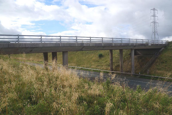 CFL67.jpg Northbound carriageway. (taken 7.9.2016) 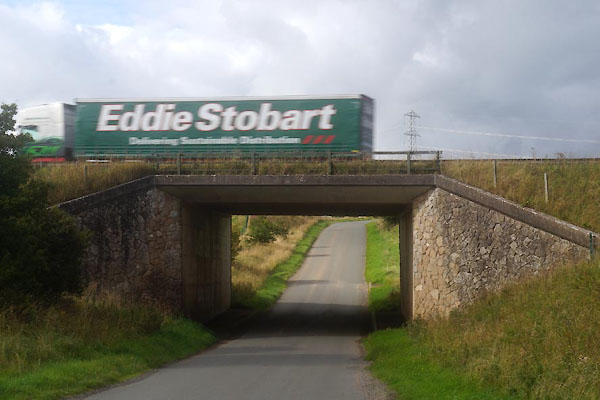 CFL66.jpg Southbound carriageway (taken 7.9.2016) |
||
|
|
||
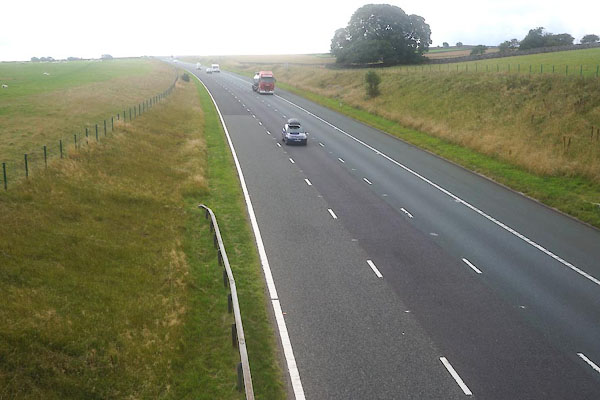 CFL69.jpg Northbound, view N. (taken 7.9.2016) 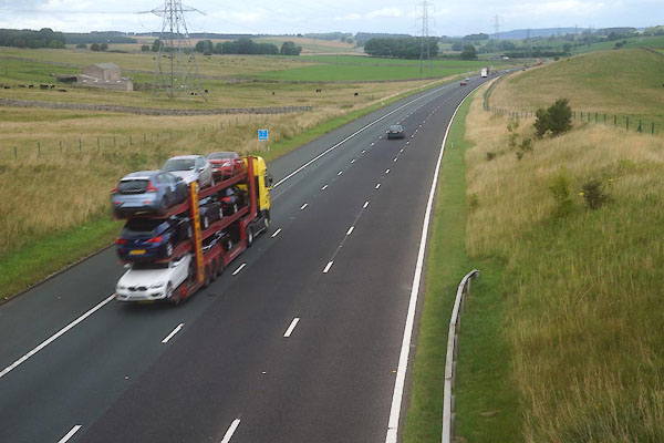 CFL70.jpg Northbound, view S. (taken 7.9.2016) |
||
|
|
||
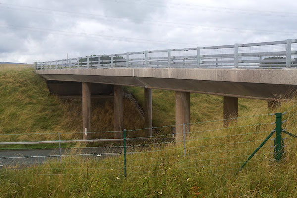 CFL68.jpg Northbound carriageway. (taken 7.9.2016) |
||
|
|
||
 Lakes Guides menu.