 Old Cumbria Gazetteer
 |
 |
|
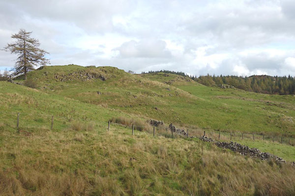
| Seavy Mire Hill, Claife | ||
| Seavy Mire Hill | ||
| locality:- | Claife Heights | |
| civil parish:- | Claife (formerly Lancashire) | |
| county:- | Cumbria | |
| locality type:- | hill | |
| coordinates:- | SD37519725 (etc) | |
| 1Km square:- | SD3797 | |
| 10Km square:- | SD39 | |
|
|
||
 CGS41.jpg (taken 12.10.2017) |
||
|
|
||
| evidence:- | old map:- OS County Series (Lan 5 3) placename:- Seavy Mire Hill |
|
| source data:- | Maps, County Series maps of Great Britain, scales 6 and 25
inches to 1 mile, published by the Ordnance Survey, Southampton,
Hampshire, from about 1863 to 1948. |
|
|
|
||
 Lakes Guides menu.