 Old Cumbria Gazetteer
 |
 |
|
| spring, Southerndale | ||
| runs into:- |  Southerndale Beck Southerndale Beck |
|
|
|
||
| locality:- | Southerndale Beck | |
| civil parish:- | Bassenthwaite (formerly Cumberland) | |
| county:- | Cumbria | |
| locality type:- | spring (group of) | |
| coordinates:- | NY25122878 (about) | |
| 1Km square:- | NY2528 | |
| 10Km square:- | NY22 | |
|
|
||
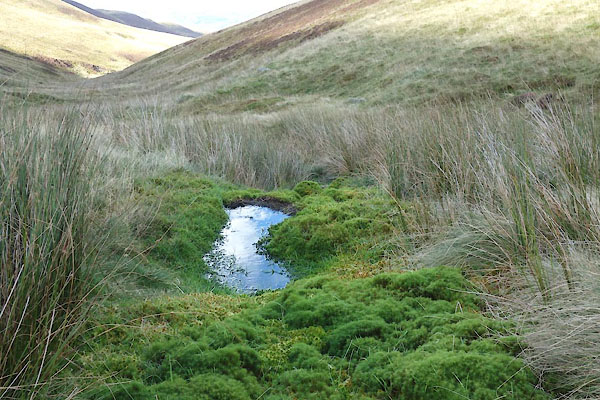 CEB72.jpg (taken 13.10.2015) 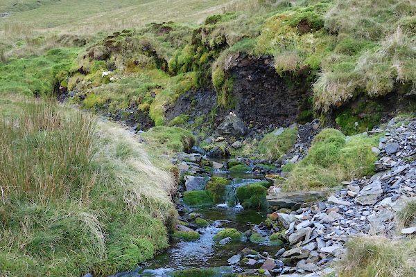 CEB74.jpg (taken 13.10.2015) |
||
|
|
||
| evidence:- | old map:- OS County Series (Cmd 56) placename:- |
|
| source data:- | Maps, County Series maps of Great Britain, scales 6 and 25
inches to 1 mile, published by the Ordnance Survey, Southampton,
Hampshire, from about 1863 to 1948. "Springs" |
|
|
|
||
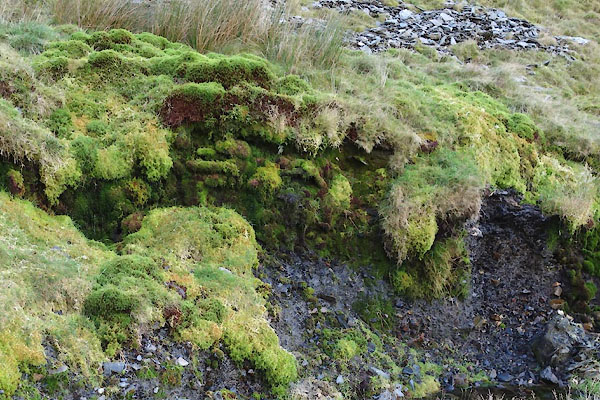 CEB75.jpg (taken 13.10.2015) 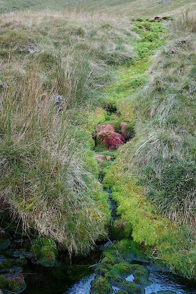 CEB73.jpg (taken 13.10.2015) |
||
|
|
||
Lakes Guides menu.