 Old Cumbria Gazetteer
 |
 |
|
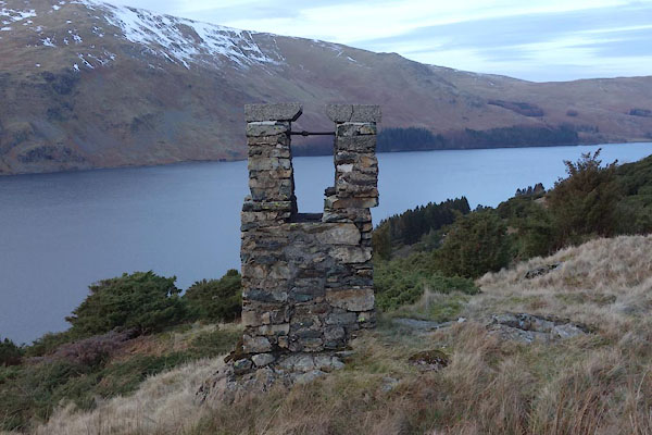
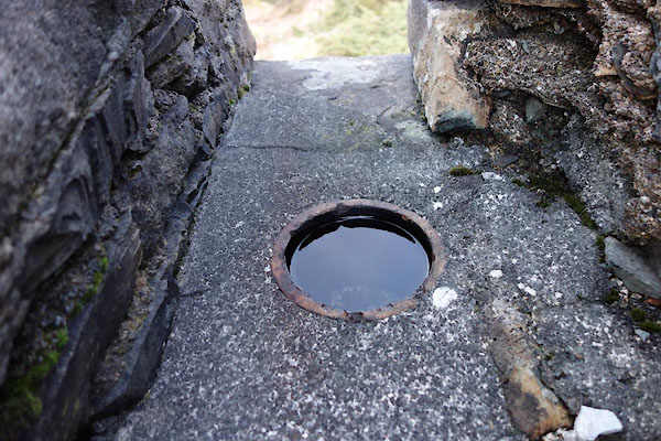
| survey pillar, Shap Rural (2) | ||
| locality:- | Mardale Banks | |
| locality:- | Haweswater Aqueduct | |
| civil parish:- | Shap Rural (formerly Westmorland) | |
| county:- | Cumbria | |
| locality type:- | survey pillar | |
| coordinates:- | NY48001258 | |
| 1Km square:- | NY4812 | |
| 10Km square:- | NY41 | |
|
|
||
 BZX03.jpg (taken 16.2.2014) 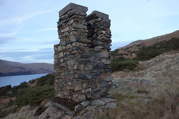 BZX04.jpg (taken 16.2.2014) |
||
|
|
||
 BZX05.jpg (taken 16.2.2014) |
||
|
|
||
| person:- | local authority : Manchester Corporation |
|
| date:- | ||
| item:- | Haweswater Aqueduct; Longsleddale Tunnel |
|
| Concrete pillar, erected as a survey point for the construction of the Longsleddale
Tunnel carrying the Haweswater Aqueduct. |
||
|
|
||
 Lakes Guides menu.