 Old Cumbria Gazetteer
 |
 |
|
| Tidal Harbour, Port of Workington | ||
| Tidal Harbour | ||
| locality:- | Port of Workington | |
| locality:- | Workington | |
| civil parish:- | Workington (formerly Cumberland) | |
| county:- | Cumbria | |
| locality type:- | dock | |
| locality type:- | fishing boat | |
| coordinates:- | NX99362907 (etc) | |
| 1Km square:- | NX9929 | |
| 10Km square:- | NX92 | |
|
|
||
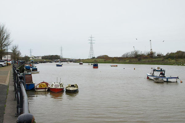 BTT38.jpg (taken 5.11.2010) 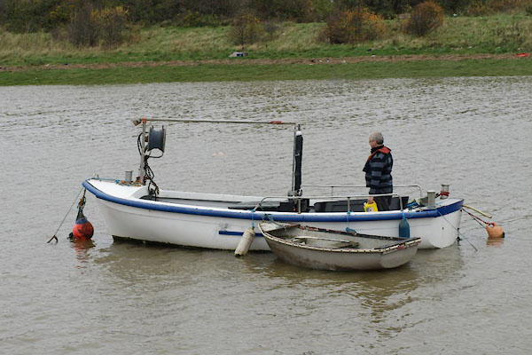 BTT39.jpg Inshore fishing boat (taken 5.11.2010) |
||
|
|
||
| evidence:- | old text:- Admiralty 1933 placename:- Tidal Harbour item:- coal; cranes; railways |
|
| source data:- |  goto source goto sourcePage 393:- "..." "Tidal dock and Tidal harbour (Lat. 54~ 39' N., Long. 3~ 34' W.) are situated on the southern side of the entrance to the river [Derwent]." "Tidal harbour is entered through a swing bridge with depths of 20 feet (6m1) in the passage, which is 50 feet (15m2) wide, at high water springs; there are 2,800 feet (853m4) of quayage, with depths of from 15 to 20 feet (4m6 to 6m1) alongside at high water springs, in Tidal dock and Tidal harbour." goto sourcePage 394:- "... There are extensive coal mines in the neighbourhood and supplies of coal can be put on board, either in the dock or in the harbour. ... The tidal harbour is equipped with five 3-ton steam cranes. All the principal quays are connected with the mainline railway system." |
|
|
|
||
| MN photo:- |
The harbour is home to numerous inshore fishing boats, many with the small crane needed
to lobster pots - though I don't see post about on the shore. |
|
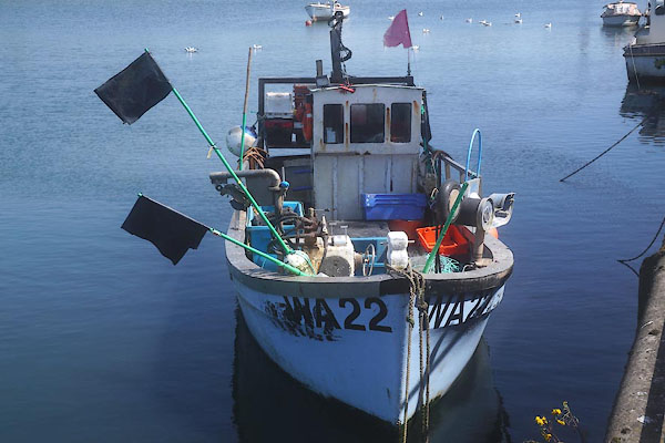 CGB22.jpg (taken 10.5.2017) 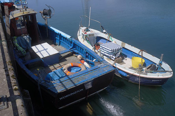 CGB23.jpg (taken 10.5.2017)  CGB24.jpg (taken 10.5.2017) 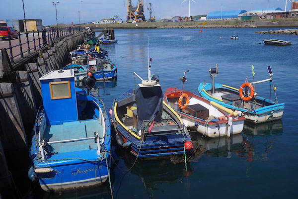 CGB25.jpg (taken 10.5.2017) 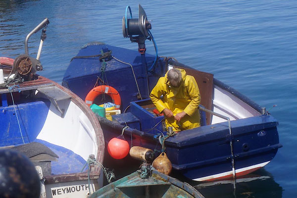 CGB26.jpg (taken 10.5.2017) 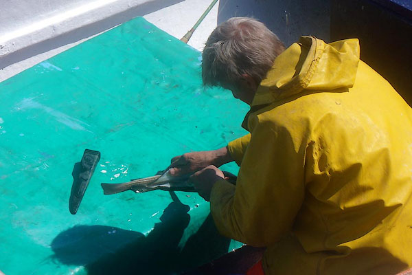 CGB27.jpg (taken 10.5.2017) 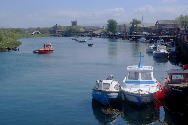 CGB28.jpg (taken 10.5.2017) |
||
|
|
||
Lakes Guides menu.