 |
 |
|
|
|
|
Blacksikes |
| civil parish:- |
Hesket (formerly Cumberland) |
| county:- |
Cumbria |
| locality type:- |
locality |
| locality type:- |
buildings |
| coordinates:- |
NY46903781 (etc) |
| 1Km square:- |
NY4637 |
| 10Km square:- |
NY43 |
|
|
| evidence:- |
old map:- OS County Series (Cmd 49 2)
placename:- Blacksikes
|
| source data:- |
Maps, County Series maps of Great Britain, scales 6 and 25
inches to 1 mile, published by the Ordnance Survey, Southampton,
Hampshire, from about 1863 to 1948.
|
|
|
| places:- |
 |
NY46763779 Blacksykes (Hesket) |
|
|
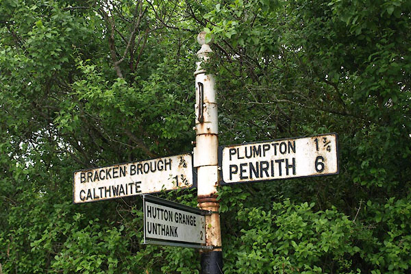 |
NY47023789 fingerpost, Hesket (Hesket) |
|
|
|
NY47193757 Blacksykes Bridge (Hesket) |
|
