 |
 |
|
|
|
|
Stewart Hill |
| civil parish:- |
Mungrisdale (formerly Cumberland) |
| county:- |
Cumbria |
| locality type:- |
locality |
| locality type:- |
buildings |
| coordinates:- |
NY36633478 (etc) |
| 1Km square:- |
NY3634 |
| 10Km square:- |
NY33 |
|
|
| evidence:- |
old map:- OS County Series (Cmd 48 10)
placename:- Stuarthill
|
| source data:- |
Maps, County Series maps of Great Britain, scales 6 and 25
inches to 1 mile, published by the Ordnance Survey, Southampton,
Hampshire, from about 1863 to 1948.
|
|
|
| places:- |
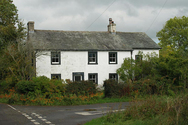 |
NY36493479 house, Stewart Hill (Mungrisdale) |
|
|
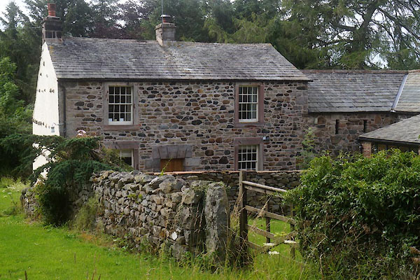 |
NY36593479 Marks House (Mungrisdale) L |
|
|
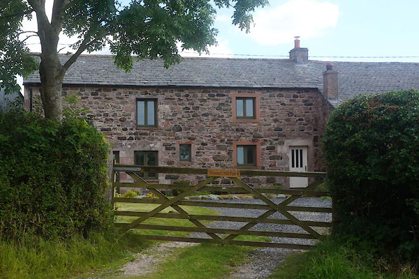 |
NY36673474 Stewart Hill Farm (Mungrisdale) |
|

 Lakes Guides menu.