 Old Cumbria Gazetteer
 |
 |
|
| Meggs Cross, Cartmel Fell | ||
| Meggs Cross | ||
| civil parish:- | Cartmel Fell (formerly Lancashire) | |
| county:- | Cumbria | |
| locality type:- | road junction | |
| coordinates:- | SD41548742 | |
| 1Km square:- | SD4187 | |
| 10Km square:- | SD48 | |
|
|
||
| evidence:- | old map:- OS County Series (Lan 8 12) |
|
| source data:- | Maps, County Series maps of Great Britain, scales 6 and 25
inches to 1 mile, published by the Ordnance Survey, Southampton,
Hampshire, from about 1863 to 1948. "Guide Post" |
|
|
|
||
| evidence:- | old map:- Birket 1802 placename:- Meggs Cross |
|
| source data:- | courtesy of John Booth 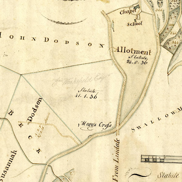 ES0004pce.jpg "Meggs Cross" item:- private collection : 352 Image © see bottom of page |
|
|
|
||
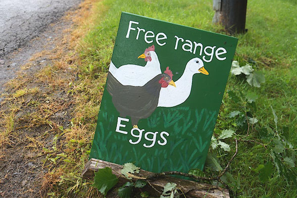 CFF89.jpg SD41528739 eggs sale point (taken 15.7.2016) |
||
|
|
||
 Lakes Guides menu.