 Old Cumbria Gazetteer
 |
 |
|
| Bannerdale Mine, Mungrisdale | ||
| Bannerdale Mine | ||
| site name:- | Bannerdale Crags | |
| locality:- | Bannerdale | |
| civil parish:- | Mungrisdale (formerly Cumberland) | |
| county:- | Cumbria | |
| locality type:- | lead mine | |
| locality type:- | mine | |
| coordinates:- | NY33542945 (etc) | |
| 1Km square:- | NY3329 | |
| 10Km square:- | NY32 | |
| references:- | Adams, John: 1988: Mines of the Lake District Fells: Dalesman Books (Lancaster, Lancashire)::
ISBN 0 85206 931 6 |
|
|
|
||
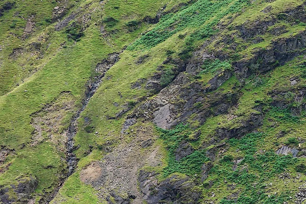 CDR45.jpg (taken 12.8.2015) 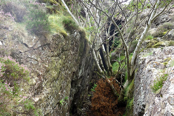 CDR51.jpg Level, (taken 12.8.2015) |
||
|
|
||
| evidence:- | old map:- OS County Series (Cmd 57 5) placename:- Bannerdale Mine |
|
| source data:- | Maps, County Series maps of Great Britain, scales 6 and 25
inches to 1 mile, published by the Ordnance Survey, Southampton,
Hampshire, from about 1863 to 1948. "Bannerdale Mine (Lead) / Level" |
|
|
|
||
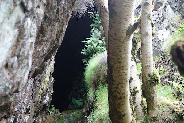 CDR52.jpg Level, (taken 12.8.2015) 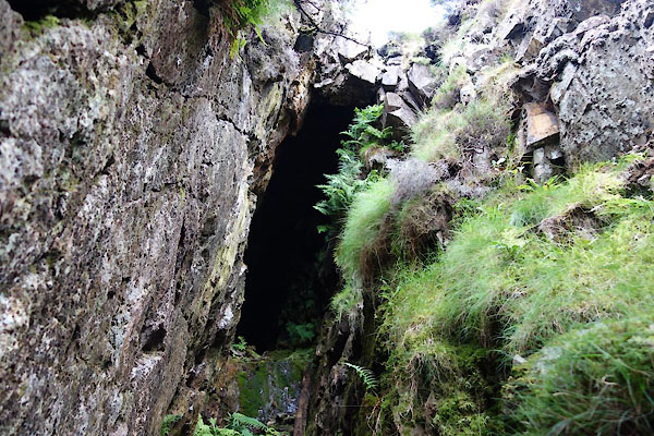 CDR53.jpg Level, (taken 12.8.2015) 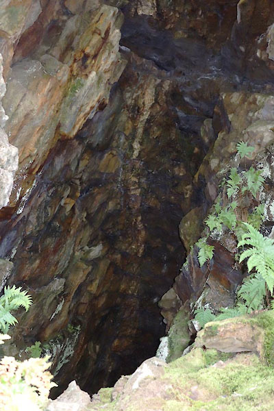 CDR54.jpg Level, (taken 12.8.2015) 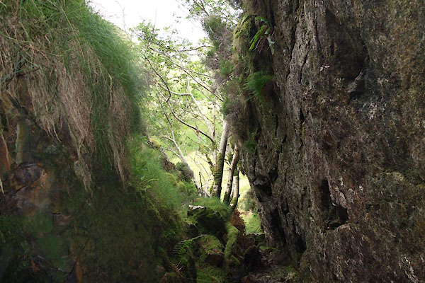 CDR55.jpg Level, View out. (taken 12.8.2015) |
||
|
|
||
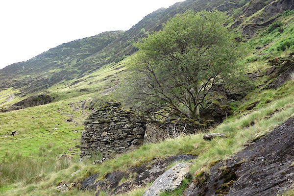 CDR46.jpg Building, (taken 12.8.2015) 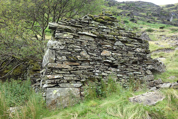 CDR47.jpg Building, (taken 12.8.2015) 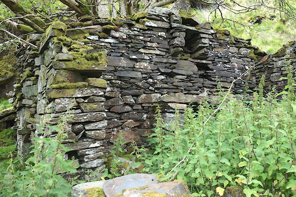 CDR48.jpg Building, (taken 12.8.2015) 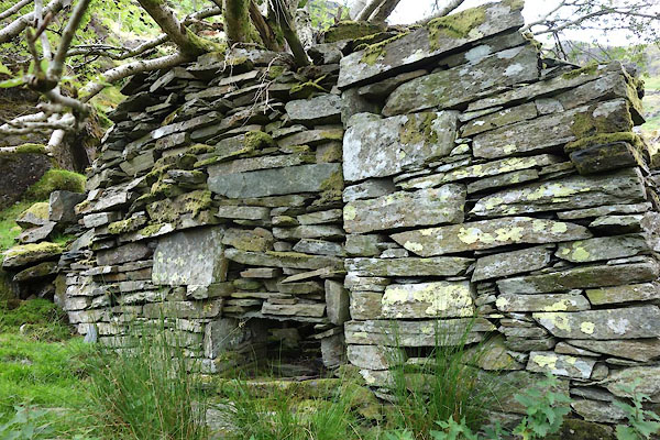 CDR49.jpg Building, (taken 12.8.2015) 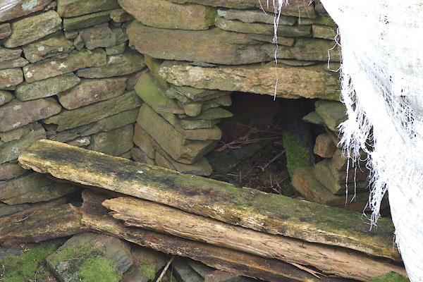 CDR50.jpg Building, (taken 12.8.2015) |
||
|
|
||
| :- |
On Bannerdale Crag. Worked in mid 19th century? |
|
| Galena and blende in a matrix of quartz, baryte, and rock. There is some graphite,
black lead, higher up. |
||
| Adams, John: 1988: Mines of the Lake District Fells: Dalesman Books (Lancaster, Lancashire)::
ISBN 0 85206 931 6 |
||
|
|
||
 Lakes Guides menu.