Old Cumbria Gazetteer
 |
 |
|
||
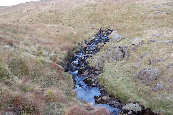
| Bannisdale Beck | ||||
| runs into:- |  Mint, River Mint, River |
|||
|
|
||||
| civil parish:- | Whitwell and Selside (formerly Westmorland) | |||
| civil parish:- | Fawcett Forest (formerly Westmorland) | |||
| county:- | Cumbria | |||
| locality type:- | river | |||
| 1Km square:- | NY5202 | |||
| 10Km square:- | NY50 | |||
|
|
||||
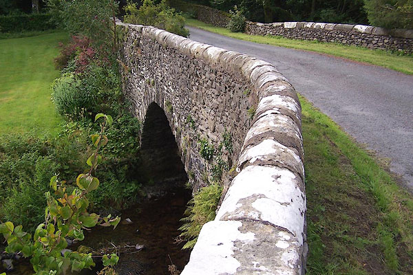
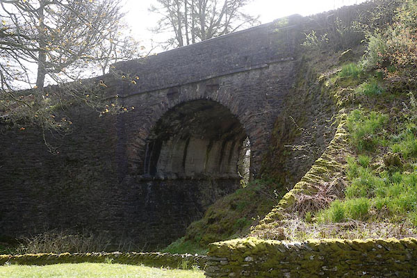
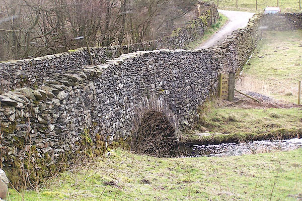
 BXS77.jpg (taken 29.11.2012) 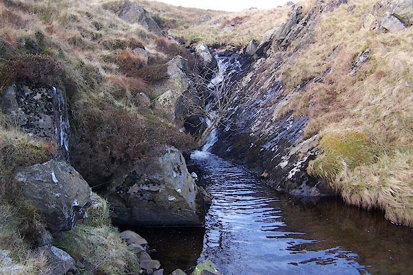 BXS78.jpg (taken 29.11.2012) |
||||
|
|
||||
| evidence:- | old map:- OS County Series (Wmd 27 8) placename:- Bannisdale Beck |
|||
| source data:- | Maps, County Series maps of Great Britain, scales 6 and 25
inches to 1 mile, published by the Ordnance Survey, Southampton,
Hampshire, from about 1863 to 1948. OS County Series (Wmd 27 12) OS County Series (Wmd 27 13) OS County Series (Wmd 28 13) |
|||
|
|
||||
| evidence:- | old map:- Ogilby 1675 (plate 38) |
|||
| source data:- | Road strip map, hand coloured engraving, continuation of the
Road from London to Carlisle, scale about 1 inch to 1 mile, by
John Ogilby, London, 1675.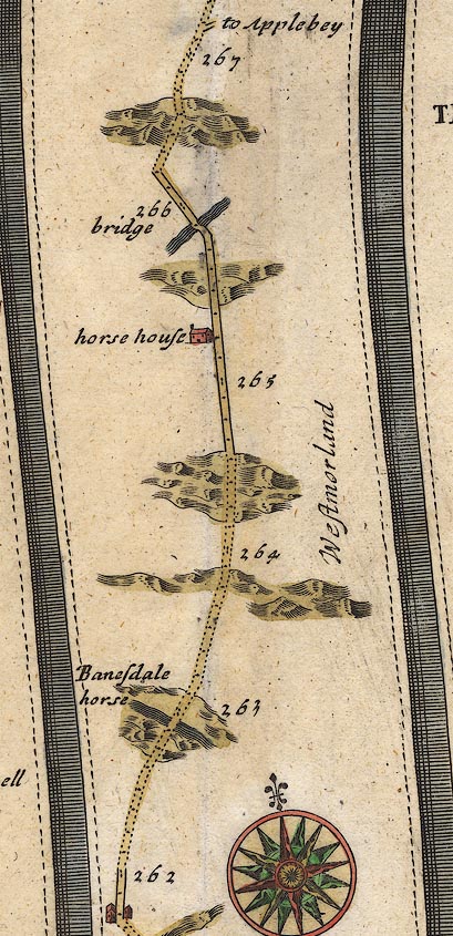 OG38m262.jpg In mile 262, Westmorland. River crossed by the road, no bridge drawn. item:- JandMN : 21 Image © see bottom of page |
|||
|
|
||||
| evidence:- | old map:- Jefferys 1770 (Wmd) placename:- Banisdale Beck |
|||
| source data:- | Map, 4 sheets, The County of Westmoreland, scale 1 inch to 1
mile, surveyed 1768, and engraved and published by Thomas
Jefferys, London, 1770.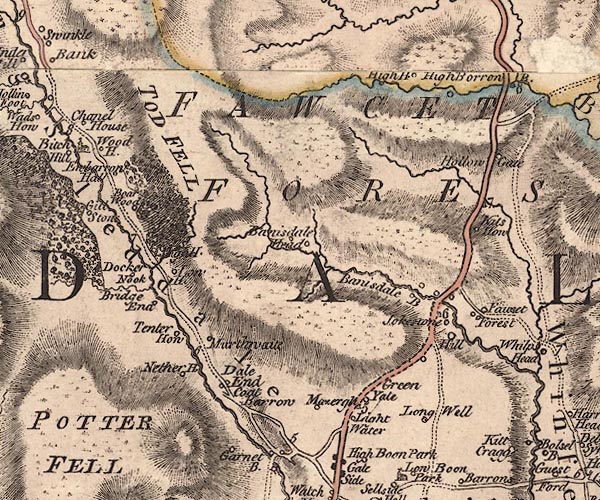 J5NY50SW.jpg "Banisdale B" single or double wiggly line; river 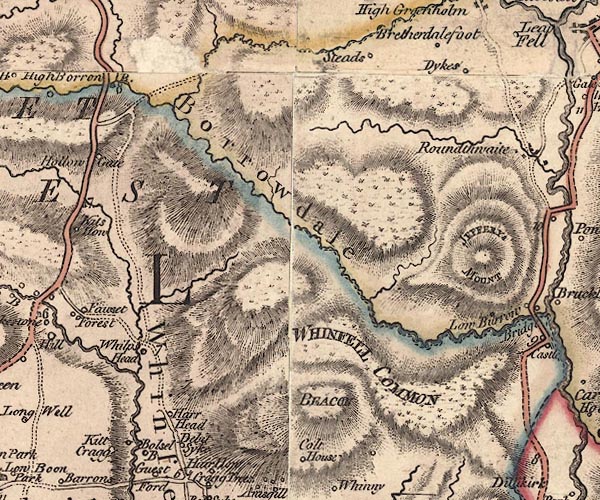 J5NY50SE.jpg double wiggly line; river item:- National Library of Scotland : EME.s.47 Images © National Library of Scotland |
|||
|
|
||||
| evidence:- | old map:- West 1784 map |
|||
| source data:- | Map, hand coloured engraving, A Map of the Lakes in Cumberland,
Westmorland and Lancashire, scale about 3.5 miles to 1 inch,
engraved by Paas, 53 Holborn, London, about 1784.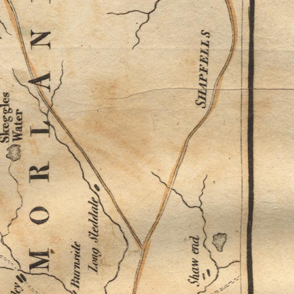 Ws02NY50.jpg item:- Armitt Library : A1221.1 Image © see bottom of page |
|||
|
|
||||
| evidence:- | old map:- Cary 1789 (edn 1805) |
|||
| source data:- | Map, uncoloured engraving, Westmoreland, scale about 2.5 miles
to 1 inch, by John Cary, London, 1789; edition 1805.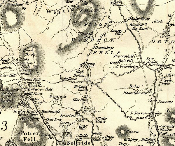 CY24NY50.jpg river running into the Mint item:- JandMN : 129 Image © see bottom of page |
|||
|
|
||||
| evidence:- | old map:- Otley 1818 |
|||
| source data:- | Map, uncoloured engraving, The District of the Lakes,
Cumberland, Westmorland, and Lancashire, scale about 4 miles to
1 inch, by Jonathan Otley, 1818, engraved by J and G Menzies,
Edinburgh, Scotland, published by Jonathan Otley, Keswick,
Cumberland, et al, 1833. OT02NY50.jpg item:- JandMN : 48.1 Image © see bottom of page |
|||
|
|
||||
| mapping:- | ||||
|
|
||||
| places:- |
|
|||
|
||||
|
||||
|
||||
Lakes Guides menu.